Caribbean Cruises
See all Caribbean cruise deals
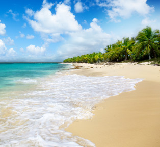
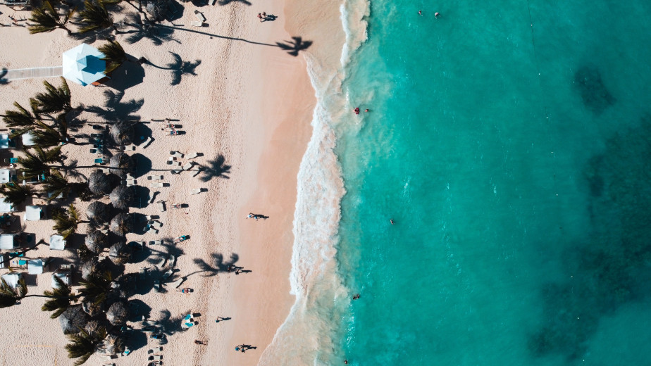
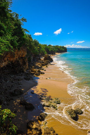
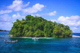
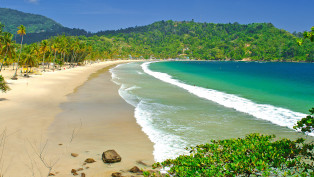
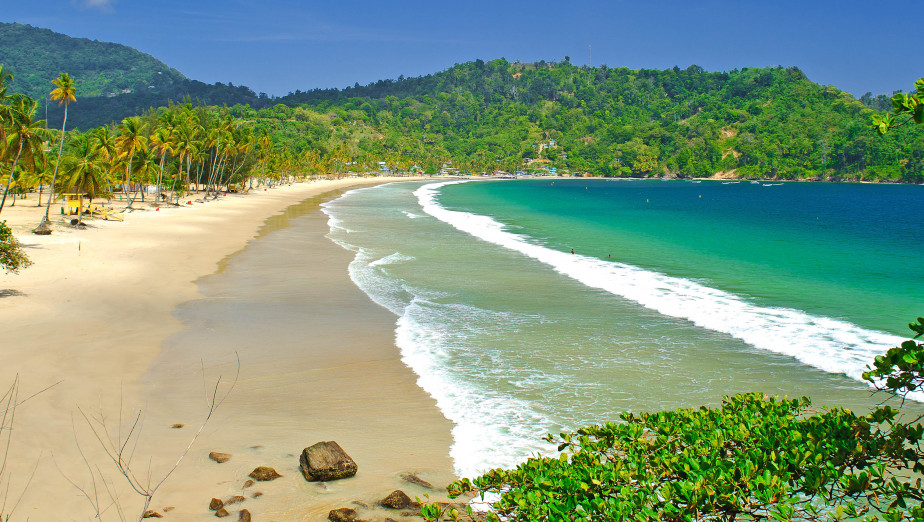
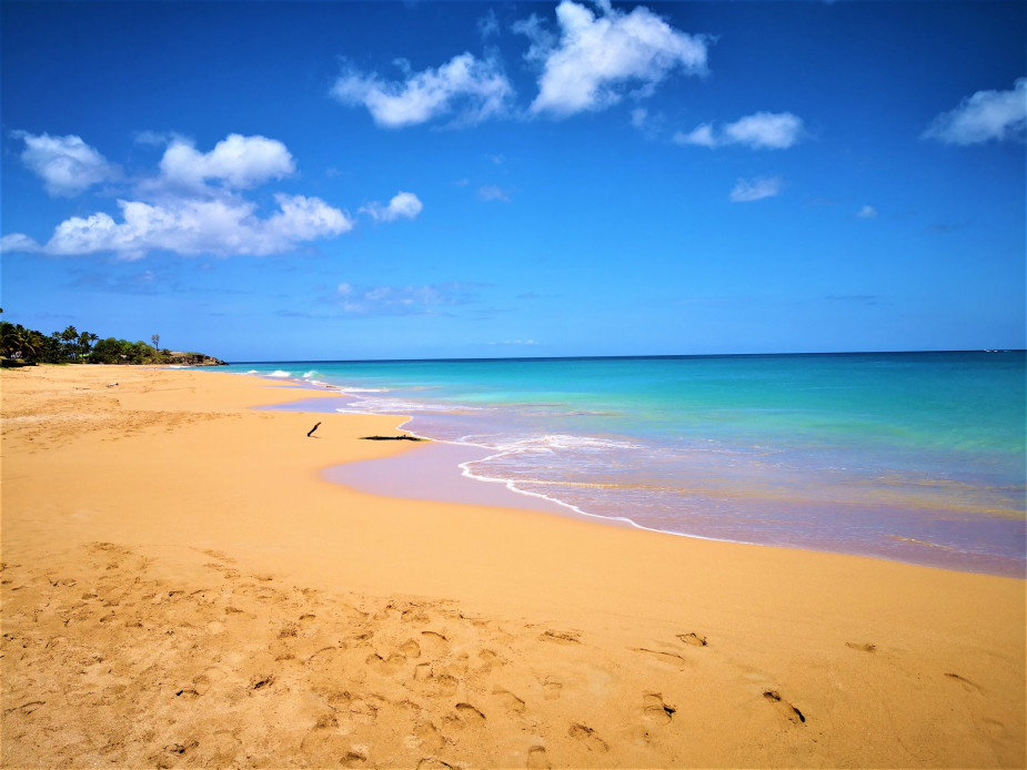
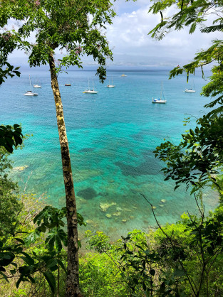
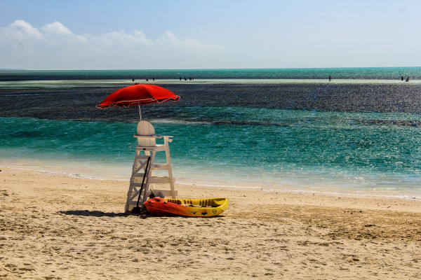
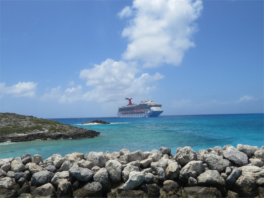
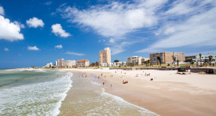
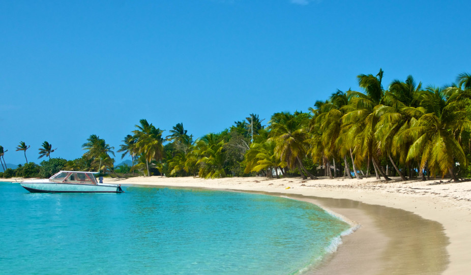
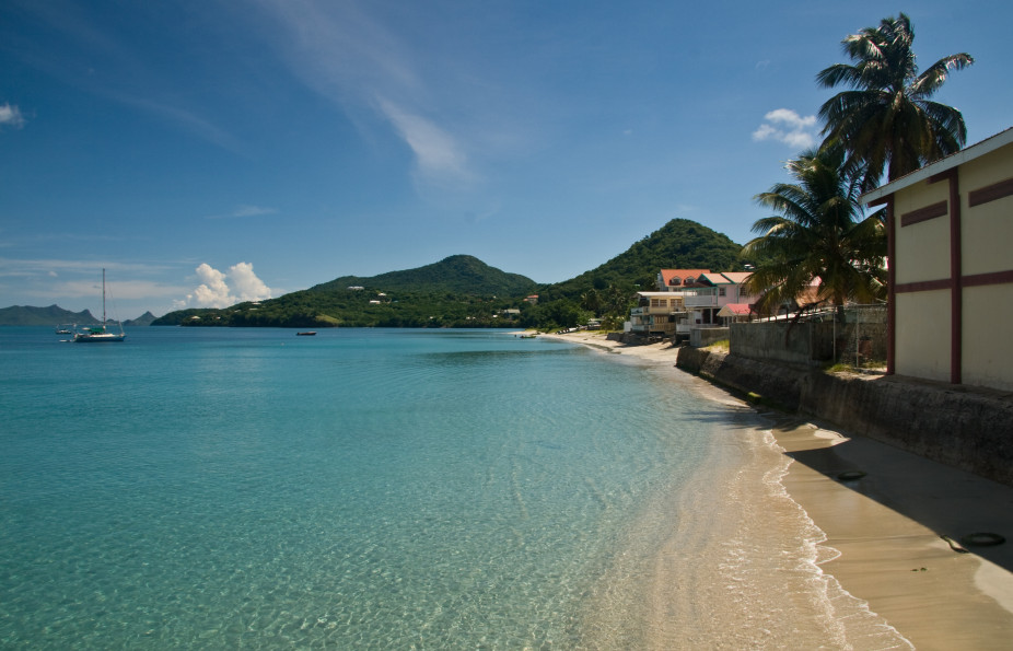
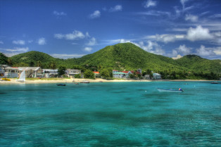
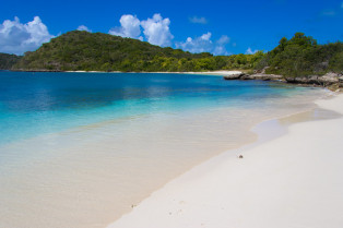
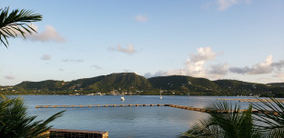
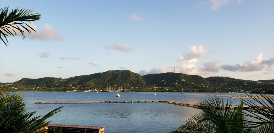
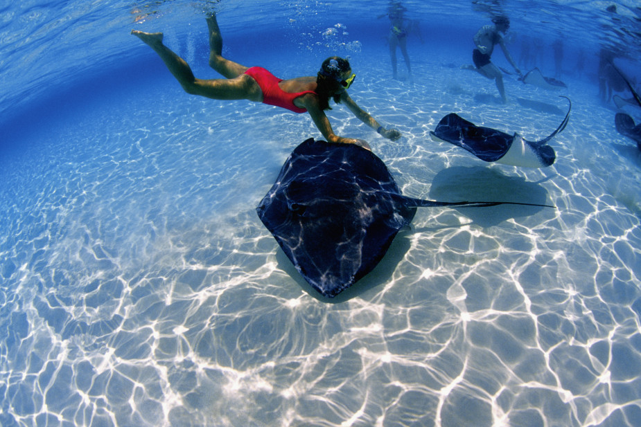
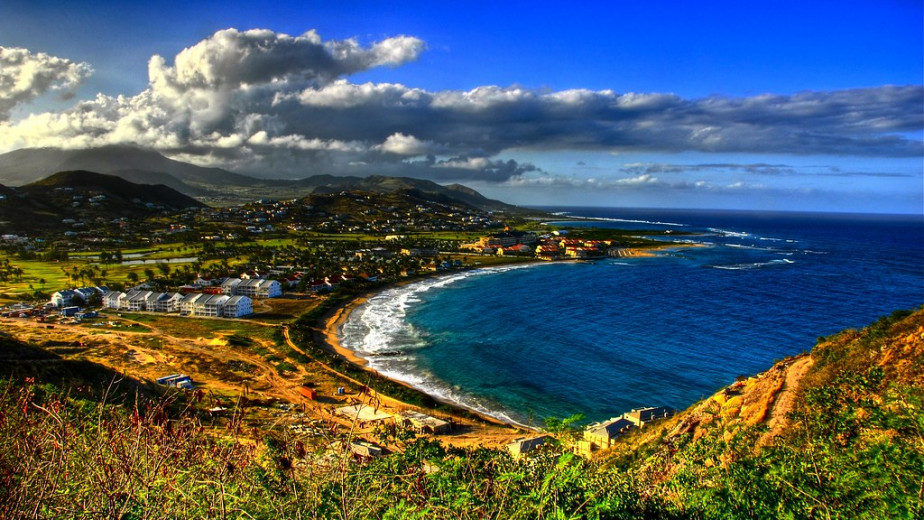
Caribbean cruises offer an unforgettable experience for travellers looking for a unique and memorable holiday. From the crystal-clear waters of the Caribbean Sea to the white sand beaches, there is something for everyone to enjoy. With its unique culture and stunning scenery, it's no wonder why Caribbean cruises are so popular. Whether you're looking for a relaxing getaway or an adventure-filled holiday, a Caribbean cruise is sure to provide you with an unforgettable experience.
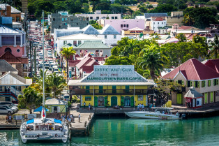
A Caribbean cruise is a great way to relax and enjoy the beauty of the Caribbean Sea. Whether you are looking for a romantic getaway or an adventurous family vacation, there is something for everyone on a Caribbean cruise. From stunning beaches to thrilling activities, you can expect to have an unforgettable experience. Onboard, you will find plenty of delicious food options, luxurious amenities, and exciting entertainment options that will make your cruise even more memorable. So, pack your bags and get ready to explore the wonders of the Caribbean Sea with an unforgettable cruise!
Choosing the perfect Caribbean cruise can be a daunting task, but with the right information, you can make sure you have an unforgettable experience. From researching different cruise lines and destinations to understanding what activities are available onboard, there are many things to consider when selecting your Caribbean cruise. With the help from our cruise experts, you will be able find the perfect Caribbean cruise that meets all your needs and expectations.
To see all available sailing dates, itineraries and destinations, call us today and speak to our Caribbean cruising experts. All cruise holidays to the Caribbean are fully ABTA & ATOL protected.
Caribbean Cruises 2024 Caribbean Cruises 2025
For those travelling in the early months of the year, the Dominican Republic’s Samaná Bay sees thousands of humpback whales pass through on the way to their breeding grounds. Heading to this destination later in the year? No problem. With its beauty beckoning, you can enjoy the sunshine here late into the seasons – a perfect remedy for the winter blues.
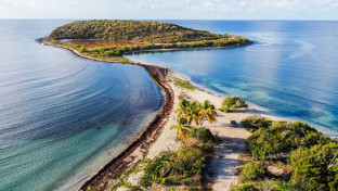
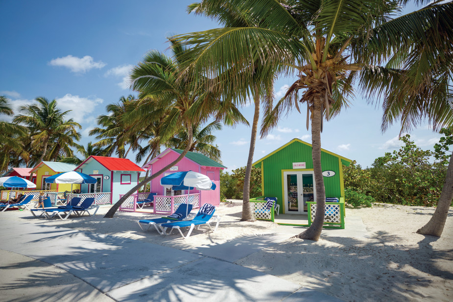
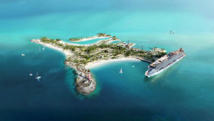
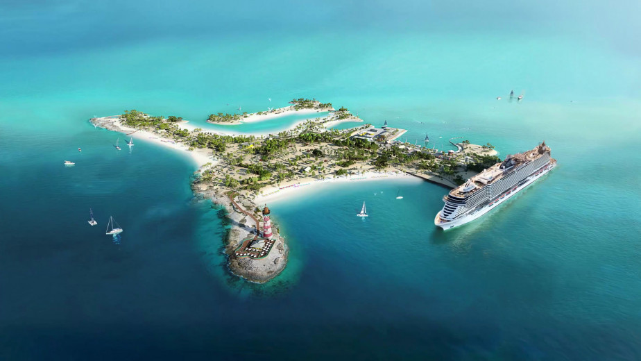
The Caribbean is also the location of cruise lines' private islands and resorts. These exclusive destinations are only accessible via cruise ship and feature a host of exciting activities as well as stunning white sandy beaches.
Choosing which Caribbean cruise is right for you
With so much choice, it can be hard to know which cruise to choose, especially if you haven't cruised before. To help, we've written a few articles to help you decide which Caribbean cruise will suit you best...
The best Caribbean cruise lines The best Caribbean cruise ships The best Caribbean cruise itineraries
If you'd like any further help or have any questions about any aspect of cruising, including all-inclusive Caribbean cruises, our Cruise Concierge team will be happy to help. Just give us a call on 0808 239 4957.
Havana

Havana
Manzanillo

Manzanillo
Santiago de Cuba

Santiago de Cuba

Labadee
Labadee

Puerto Plata
Puerto Plata
Amber Cove
Amber Cove

La Romana
La Romana

Catalina Island
Catalina Island

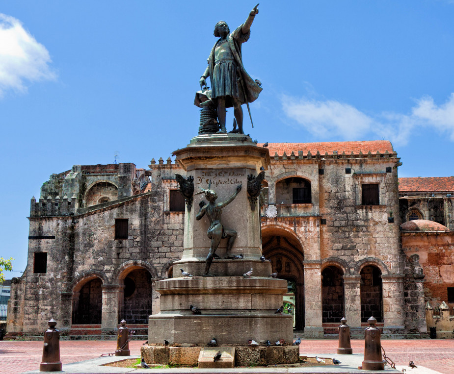
Santo Domingo

Santo Domingo
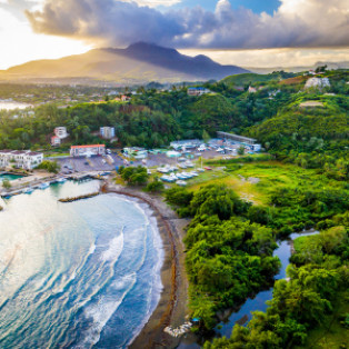
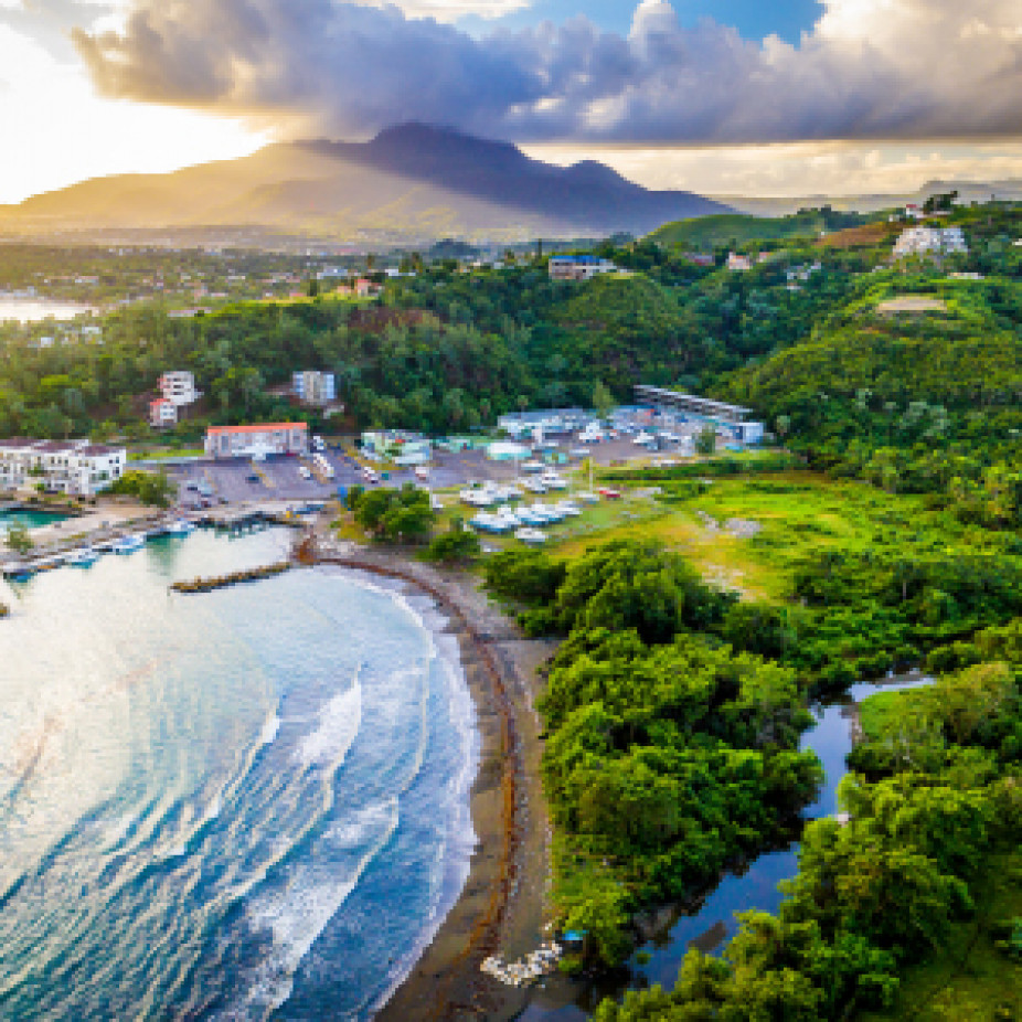
Samaná
Samaná

Saona Island
Saona Island

Punta Cana

Punta Cana
Cayo Levantado
Cayo Levantado
Cabo Rojo
Cabo Rojo
Cabo Rojo
Cabo Rojo
Cabo Rojo
Cabo Rojo
San Juan (Puerto Rico)
San Juan (Puerto Rico)
Esperanza, Vieques Island
Esperanza, Vieques Island
Culebrita Island
Culebrita Island

Ponce
Ponce

Boquerón
Boquerón

Vieques
Vieques

Culebra Island
Culebra Island
Caja de Muertos
Caja de Muertos
Ocho Rios

Ocho Rios
Falmouth

Falmouth
Montego Bay
Montego Bay
Port Royal
Port Royal
Port Antonio
Port Antonio

Kingston
Kingston

Port-of-Spain
Port-of-Spain
Scarborough
Scarborough

Man O War Bay, Tobago
Man O War Bay, Tobago
Charlotteville
Charlotteville
Pointe-à-Pitre
Pointe-à-Pitre
Îles des Saintes
Îles des Saintes
Terre-de-Haut

Terre-de-Haut

Basse-Terre

Basse-Terre
Deshaies

Deshaies
Saint-François
Saint-François
Guadeloupe

Guadeloupe
Martinique
Martinique

Fort-de-France

Fort-de-France
Trois-Ilets
Trois-Ilets

Saint Pierre

Saint Pierre
Le Marin
Le Marin
Grande Anse, Les Anses-d'Arlet
Grande Anse, Les Anses-d'Arlet
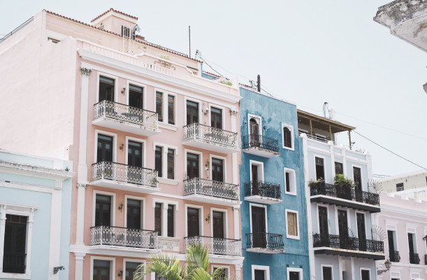
Nassau
Nassau
The capital and largest city of the Bahamas, Nassau lies on the island of New Providence. The city has a hilly landscape and is known for it’s beaches, offshore coral reefs, and pastel-coloured British colonial buildings, like the pink-hued Government House. A popular cruise-ship stop and those with a love for diving and snorkelling.
Accessible via Nassau Harbor bridges, Paradise Island sits just off-shore New Providence island and it’s here you’ll find the dominating Atlantis Resort – home to Aquaventure Waterpark.
Things To See, Do & Taste In Nassau:
- See: The Queen’s Staircase – 66 steps carved out of solid limestone, a major landmark located in the Fort Fincastle Historic Complex.
- Do: Swim with Pigs at Pigs Beach on Athol Island.
- Taste: Fish Fry on Arawak Cay
Coco Cay
Coco Cay
Half Moon Cay
Half Moon Cay
Princess Cays

Princess Cays
Freeport, Grand Bahama

Freeport, Grand Bahama

Great Stirrup Cay

Great Stirrup Cay

Bimini Island
Bimini Island

Ocean Cay, MSC Marine Reserve
Ocean Cay, MSC Marine Reserve
Clarence Town, Long Island

Clarence Town, Long Island
Cockburn Town, San Salvador Island
Cockburn Town, San Salvador Island
Harbour Island
Harbour Island

West End
West End

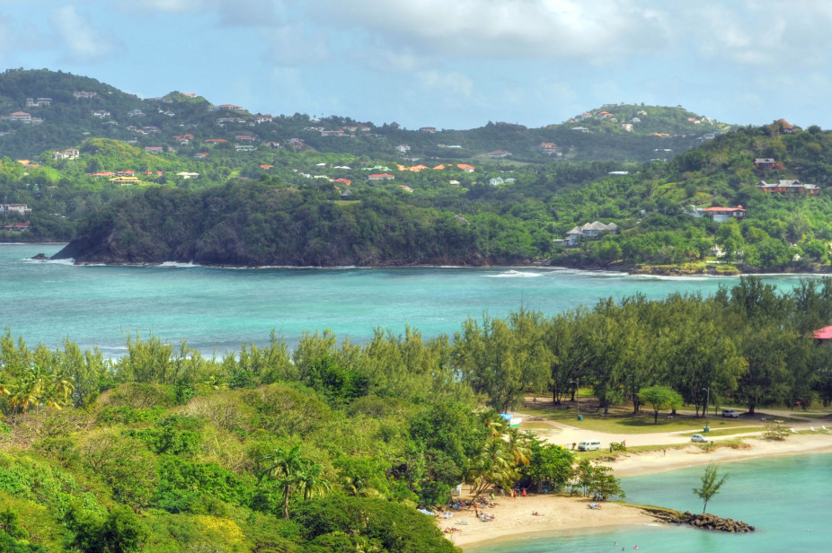
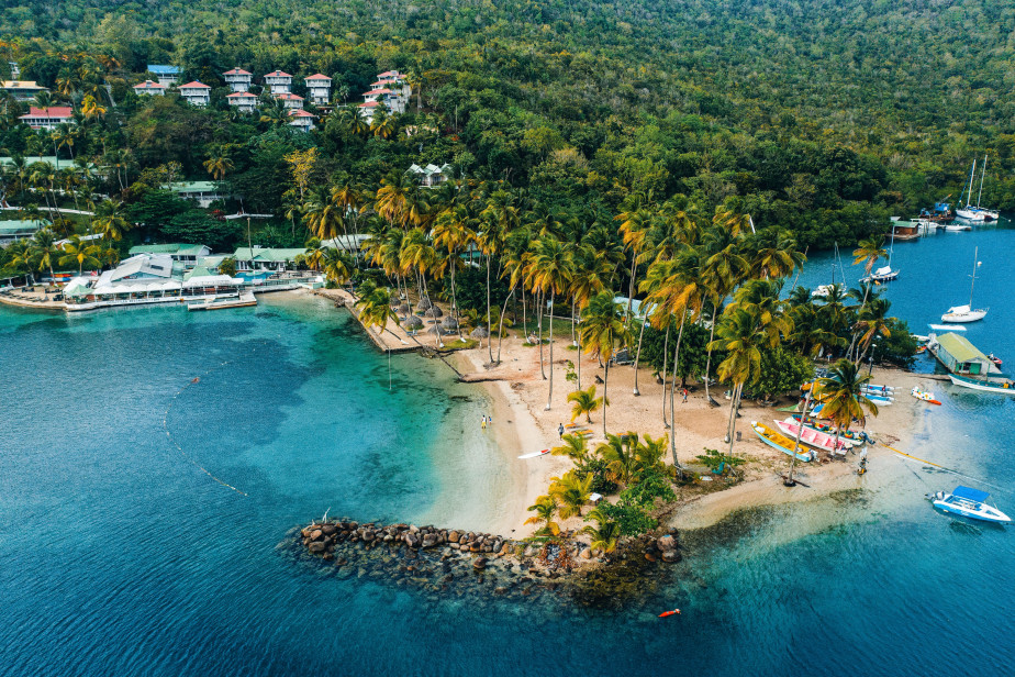
Castries

Castries
Pigeon Island
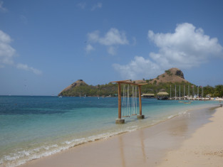
Pigeon Island

Rodney Bay

Rodney Bay

Soufrière

Soufrière
Marigot Bay

Marigot Bay
Vieux Fort
Vieux Fort
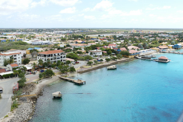
Willemstad
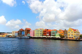
Willemstad

Curaçao

Curaçao

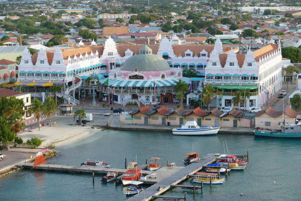
Aruba
Aruba

Oranjestad
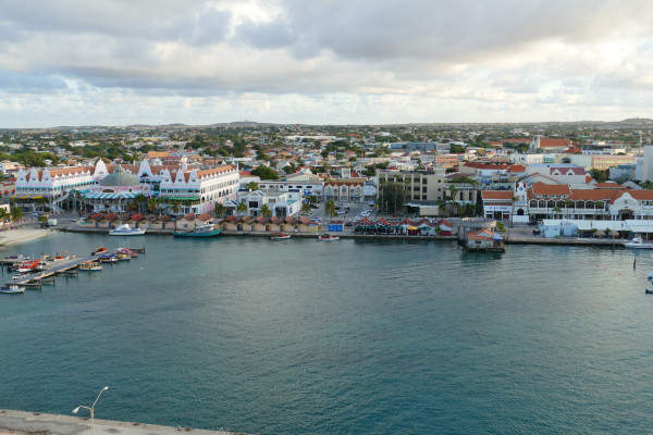
Oranjestad
Port Elizabeth, Bequia
Port Elizabeth, Bequia

Kingstown

Kingstown

Mayreau Island

Mayreau Island
Saint Vincent
Saint Vincent

Tobago Cays
-custom_thumb.jpg)
Tobago Cays
-custom_small_banner.jpg)
Captain's Best, Grenadines
Captain's Best, Grenadines
Admiralty Bay, Bequia
-custom_thumb.jpg)
Admiralty Bay, Bequia
-custom_small_banner.jpg)
Admiralty Bay is a beautiful bay in the southwest of Bequia Island in the Grenadines.
There are several marinas in the area, including Bequia Marina, Dafodil Marine and Kingston Dock.
It lies 75 miles northeast from St Georges in Grenada and 14 miles southeast of Kingston. It lies off the town of Port Elizabeth, sitting in the shadow of the 760-foot-high Mount Pleasant.
The area is very popular with yachting enthisiast, due to its unspoilt nature. The earliest inhabitants of the island were Amerindians, first the Arawaks, then the Caribs.
Union Island
Union Island
Mount Wynne
Mount Wynne
Canouan Island
Canouan Island

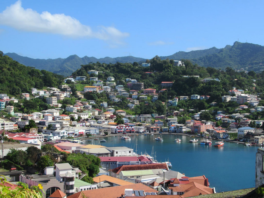
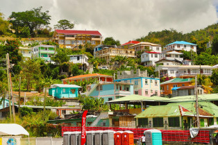
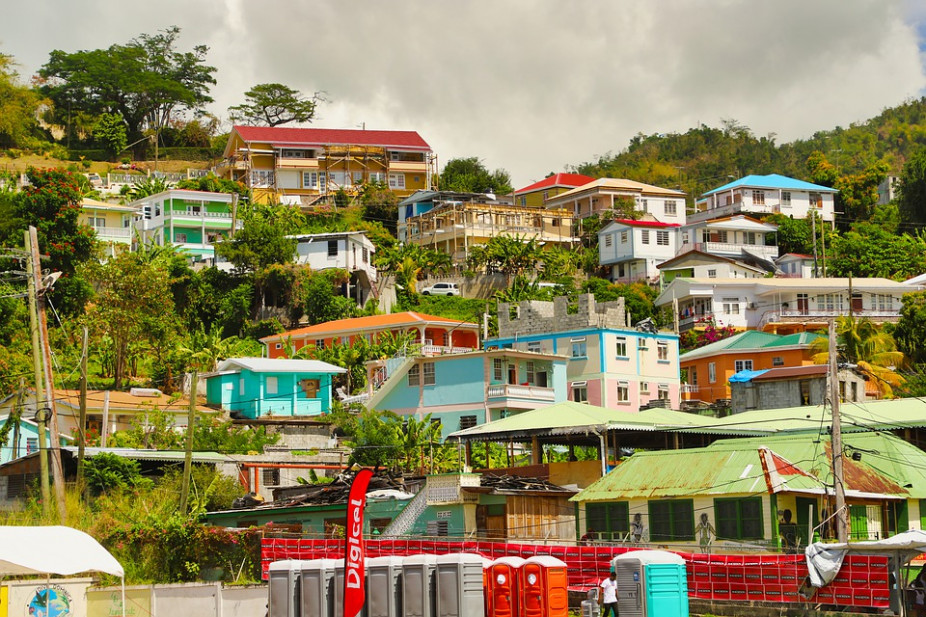
Saint George's
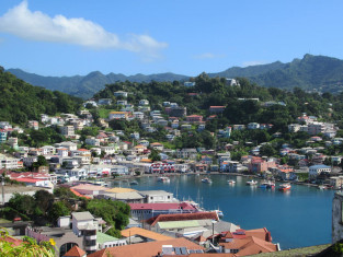
Saint George's
Hillsborough, Carriacou Island

Hillsborough, Carriacou Island
Carriacou Island
Carriacou Island

Prickly Bay
Prickly Bay
Saint John's
Saint John's

Antigua
Antigua

Falmouth
Falmouth
Barbuda
Barbuda

English Harbour
English Harbour

Prickly Pear Island
Prickly Pear Island
Codrington
Codrington
Roseau

Roseau
Dominica
Dominica
Cabrits National Park
Cabrits National Park
Portsmouth
Portsmouth

Grand Cayman
Grand Cayman
Georgetown, Grand Cayman
Georgetown, Grand Cayman
Cayman Brac
Cayman Brac
Basseterre, Saint Kitts

Basseterre, Saint Kitts
Saint Kitts

Saint Kitts
South Friars Bay
South Friars Bay

Spanish Town, Virgin Gorda

Spanish Town, Virgin Gorda
Charlestown
Charlestown
Chrishi Beach Club, Nevis
Chrishi Beach Club, Nevis
Nevis
Nevis
Frigate Bay
Frigate Bay
Marigot

Marigot
Grand Turk Island
Grand Turk Island
Providenciales
Providenciales

Salt Cay
Salt Cay

Road Town, Tortola
-custom_thumb.jpg)
Road Town, Tortola
-custom_small_banner.jpg)
Tortola
-custom_thumb.jpg)
Tortola
-custom_small_banner.jpg)
Great Harbour, Jost Van Dyke
Great Harbour, Jost Van Dyke

White Bay, Jost Van Dyke
White Bay, Jost Van Dyke

Virgin Gorda
Virgin Gorda

Norman Island
Norman Island
Sopers Hole, Tortola
Sopers Hole, Tortola
Frenchman's Cay
Frenchman's Cay
Beef Island, Tortola
Beef Island, Tortola
Leverick Bay, Virgin Gorda
Leverick Bay, Virgin Gorda

Cane Garden Bay, Tortola

Cane Garden Bay, Tortola

Peter Island

Peter Island

Sandy Ground
Sandy Ground

Road Bay

Road Bay
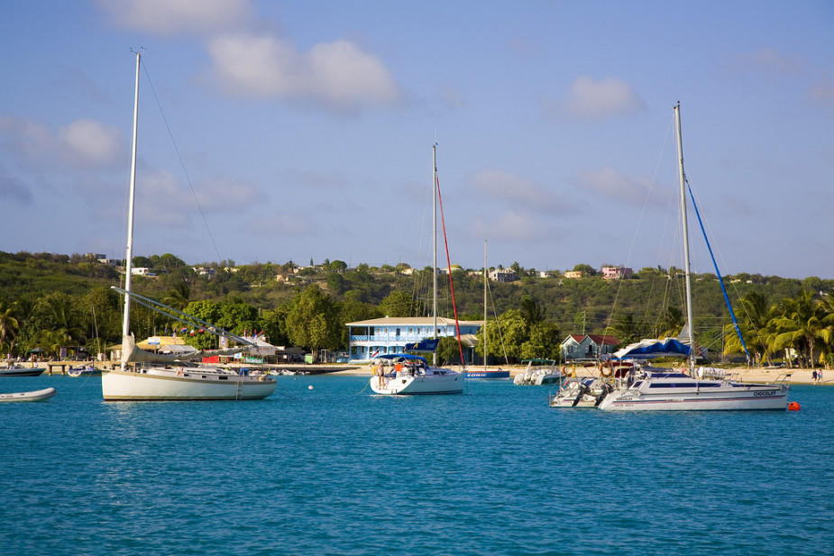
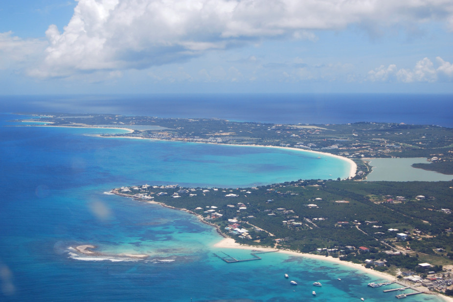
Anguilla

Anguilla
Gustavia
-custom_thumb.jpg)
Gustavia
-custom_small_banner.jpg)
Saint-Barthélemy
Saint-Barthélemy
Little Bay
Little Bay
Montserrat
Montserrat
Plymouth
Plymouth
Kralendijk

Kralendijk
Bonaire
Bonaire
Saba
Saba
Sint Eustatius
Sint Eustatius
Bridgetown
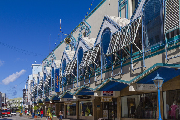
Bridgetown
Speightstown
Speightstown
Charlotte Amalie
Charlotte Amalie
Saint Thomas
Saint Thomas

If you fly to the 32-square-mile (83-square-km) island of St. Thomas, you land at its western end; if you arrive by cruise ship, you come into one of the world's most beautiful harbors. Either way, one of your first sights is the town of Charlotte Amalie. From the harbor you see an idyllic-looking village that spreads into the lower hills. If you were expecting a quiet hamlet with its inhabitants hanging out under palm trees, you've missed that era by about 300 years. Although other islands in the USVI developed plantation economies, St. Thomas cultivated its harbor, and it became a thriving seaport soon after it was settled by the Danish in the 1600s. The success of the naturally perfect harbor was enhanced by the fact that the Danes—who ruled St. Thomas with only a couple of short interruptions from 1666 to 1917—avoided involvement in some 100 years' worth of European wars. Denmark was the only European country with colonies in the Caribbean to stay neutral during the War of the Spanish Succession in the early 1700s. Thus, products of the Dutch, English, and French islands—sugar, cotton, and indigo—were traded through Charlotte Amalie, along with the regular shipments of slaves. When the Spanish wars ended, trade fell off, but by the end of the 1700s Europe was at war again, Denmark again remained neutral, and St. Thomas continued to prosper. Even into the 1800s, while the economies of St. Croix and St. John foundered with the market for sugarcane, St. Thomas's economy remained vigorous. This prosperity led to the development of shipyards, a well-organized banking system, and a large merchant class. In 1845 Charlotte Amalie had 101 large importing houses owned by the English, French, Germans, Haitians, Spaniards, Americans, Sephardim, and Danes. Charlotte Amalie is still one of the world's most active cruise-ship ports. On almost any day at least one and sometimes as many as eight cruise ships are tied to the docks or anchored outside the harbor. Gently rocking in the shadows of these giant floating hotels are just about every other kind of vessel imaginable: sleek sailing catamarans that will take you on a sunset cruise complete with rum punch and a Jimmy Buffett soundtrack, private megayachts for billionaires, and barnacle-bottom sloops—with laundry draped over the lifelines—that are home to world-cruising gypsies. Huge container ships pull up in Sub Base, west of the harbor, bringing in everything from breakfast cereals to tires. Anchored right along the waterfront are down-island barges that ply the waters between the Greater Antilles and the Leeward Islands, transporting goods such as refrigerators, VCRs, and disposable diapers. The waterfront road through Charlotte Amalie was once part of the harbor. Before it was filled in to build the highway, the beach came right up to the back door of the warehouses that now line the thoroughfare. Two hundred years ago those warehouses were filled with indigo, tobacco, and cotton. To explore outside Charlotte Amalie, rent a car or hire a taxi. Your rental car should come with a good map; if not, pick up the pocket-size "St. Thomas–St. John Road Map" at a tourist information center. Roads are marked with route numbers, but they're confusing and seem to switch numbers suddenly. Roads are also identified by signs bearing the St. Thomas–St. John Hotel and Tourism Association's mascot, Tommy the Starfish. More than 100 of these color-coded signs line the island's main routes. Orange signs trace the route from the airport to Red Hook, green signs identify the road from town to Magens Bay, Tommy's face on a yellow background points from Mafolie to Crown Bay through the north side, red signs lead from Smith Bay to Four Corners via Skyline Drive, and blue signs mark the route from the cruise-ship dock at Havensight to Red Hook. These color-coded routes are not marked on most visitor maps, however. Allow yourself a day to explore, especially if you want to stop to take pictures or to enjoy a light bite or refreshing swim. Most gas stations are on the island's more populated eastern end, so fill up before heading to the north side. And remember to drive on the left!
Saint Croix Island
Saint Croix Island
Cruz Bay, Saint John
Cruz Bay, Saint John
Frederiksted, Saint Croix
Frederiksted, Saint Croix
Saint John Island
Saint John Island
Christiansted, Saint Croix
Christiansted, Saint Croix
Water Island
Water Island
Havana
Havana
Manzanillo
Manzanillo
Santiago de Cuba
Santiago de Cuba
Labadee
Labadee
Puerto Plata
Puerto Plata
Amber Cove
Amber Cove
La Romana
La Romana
Catalina Island
Catalina Island
Santo Domingo
Santo Domingo
Samaná
Samaná
Saona Island
Saona Island
Punta Cana
Punta Cana
Cayo Levantado
Cayo Levantado
Cabo Rojo
Cabo Rojo
Cabo Rojo
Cabo Rojo
Cabo Rojo
Cabo Rojo
San Juan (Puerto Rico)
San Juan (Puerto Rico)
Esperanza, Vieques Island
Esperanza, Vieques Island
Culebrita Island
Culebrita Island
Ponce
Ponce
Boquerón
Boquerón
Vieques
Vieques
Culebra Island
Culebra Island
Caja de Muertos
Caja de Muertos
Ocho Rios
Ocho Rios
Falmouth
Falmouth
Montego Bay
Montego Bay
Port Royal
Port Royal
Port Antonio
Port Antonio
Kingston
Kingston
Port-of-Spain
Port-of-Spain
Scarborough
Scarborough
Man O War Bay, Tobago
Man O War Bay, Tobago
Charlotteville
Charlotteville
Pointe-à-Pitre
Pointe-à-Pitre
Îles des Saintes
Îles des Saintes
Terre-de-Haut
Terre-de-Haut
Basse-Terre
Basse-Terre
Deshaies
Deshaies
Saint-François
Saint-François
Guadeloupe
Guadeloupe
Martinique
Martinique
Fort-de-France
Fort-de-France
Trois-Ilets
Trois-Ilets
Saint Pierre
Saint Pierre
Le Marin
Le Marin
Grande Anse, Les Anses-d'Arlet
Grande Anse, Les Anses-d'Arlet
Nassau
Nassau
The capital and largest city of the Bahamas, Nassau lies on the island of New Providence. The city has a hilly landscape and is known for it’s beaches, offshore coral reefs, and pastel-coloured British colonial buildings, like the pink-hued Government House. A popular cruise-ship stop and those with a love for diving and snorkelling.
Accessible via Nassau Harbor bridges, Paradise Island sits just off-shore New Providence island and it’s here you’ll find the dominating Atlantis Resort – home to Aquaventure Waterpark.
Things To See, Do & Taste In Nassau:
- See: The Queen’s Staircase – 66 steps carved out of solid limestone, a major landmark located in the Fort Fincastle Historic Complex.
- Do: Swim with Pigs at Pigs Beach on Athol Island.
- Taste: Fish Fry on Arawak Cay
Coco Cay
Coco Cay
Half Moon Cay
Half Moon Cay
Princess Cays
Princess Cays
Freeport, Grand Bahama
Freeport, Grand Bahama
Great Stirrup Cay
Great Stirrup Cay
Bimini Island
Bimini Island
Ocean Cay, MSC Marine Reserve
Ocean Cay, MSC Marine Reserve
Clarence Town, Long Island
Clarence Town, Long Island
Cockburn Town, San Salvador Island
Cockburn Town, San Salvador Island
Harbour Island
Harbour Island
West End
West End
Castries
Castries
Pigeon Island
Pigeon Island
Rodney Bay
Rodney Bay
Soufrière
Soufrière
Marigot Bay
Marigot Bay
Vieux Fort
Vieux Fort
Willemstad
Willemstad
Curaçao
Curaçao
Aruba
Aruba
Oranjestad
Oranjestad
Port Elizabeth, Bequia
Port Elizabeth, Bequia
Kingstown
Kingstown
Mayreau Island
Mayreau Island
Saint Vincent
Saint Vincent
Tobago Cays
Tobago Cays
Captain's Best, Grenadines
Captain's Best, Grenadines
Admiralty Bay, Bequia
Admiralty Bay, Bequia
Admiralty Bay is a beautiful bay in the southwest of Bequia Island in the Grenadines.
There are several marinas in the area, including Bequia Marina, Dafodil Marine and Kingston Dock.
It lies 75 miles northeast from St Georges in Grenada and 14 miles southeast of Kingston. It lies off the town of Port Elizabeth, sitting in the shadow of the 760-foot-high Mount Pleasant.
The area is very popular with yachting enthisiast, due to its unspoilt nature. The earliest inhabitants of the island were Amerindians, first the Arawaks, then the Caribs.
Union Island
Union Island
Mount Wynne
Mount Wynne
Canouan Island
Canouan Island
Saint George's
Saint George's
Hillsborough, Carriacou Island
Hillsborough, Carriacou Island
Carriacou Island
Carriacou Island
Prickly Bay
Prickly Bay
Saint John's
Saint John's
Antigua
Antigua
Falmouth
Falmouth
Barbuda
Barbuda
English Harbour
English Harbour
Prickly Pear Island
Prickly Pear Island
Codrington
Codrington
Roseau
Roseau
Dominica
Dominica
Cabrits National Park
Cabrits National Park
Portsmouth
Portsmouth
Grand Cayman
Grand Cayman
Georgetown, Grand Cayman
Georgetown, Grand Cayman
Cayman Brac
Cayman Brac
Basseterre, Saint Kitts
Basseterre, Saint Kitts
Saint Kitts
Saint Kitts
South Friars Bay
South Friars Bay
Spanish Town, Virgin Gorda
Spanish Town, Virgin Gorda
Charlestown
Charlestown
Chrishi Beach Club, Nevis
Chrishi Beach Club, Nevis
Nevis
Nevis
Frigate Bay
Frigate Bay
Marigot
Marigot
Grand Turk Island
Grand Turk Island
Providenciales
Providenciales
Salt Cay
Salt Cay
Road Town, Tortola
Road Town, Tortola
Tortola
Tortola
Great Harbour, Jost Van Dyke
Great Harbour, Jost Van Dyke
White Bay, Jost Van Dyke
White Bay, Jost Van Dyke
Virgin Gorda
Virgin Gorda
Norman Island
Norman Island
Sopers Hole, Tortola
Sopers Hole, Tortola
Frenchman's Cay
Frenchman's Cay
Beef Island, Tortola
Beef Island, Tortola
Leverick Bay, Virgin Gorda
Leverick Bay, Virgin Gorda
Cane Garden Bay, Tortola
Cane Garden Bay, Tortola
Peter Island
Peter Island
Sandy Ground
Sandy Ground
Road Bay
Road Bay
Anguilla
Anguilla
Gustavia
Gustavia
Saint-Barthélemy
Saint-Barthélemy
Little Bay
Little Bay
Montserrat
Montserrat
Plymouth
Plymouth
Kralendijk
Kralendijk
Bonaire
Bonaire
Saba
Saba
Sint Eustatius
Sint Eustatius
Bridgetown
Bridgetown
Speightstown
Speightstown
Charlotte Amalie
Charlotte Amalie
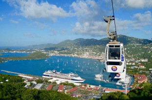
Saint Thomas
Saint Thomas
If you fly to the 32-square-mile (83-square-km) island of St. Thomas, you land at its western end; if you arrive by cruise ship, you come into one of the world's most beautiful harbors. Either way, one of your first sights is the town of Charlotte Amalie. From the harbor you see an idyllic-looking village that spreads into the lower hills. If you were expecting a quiet hamlet with its inhabitants hanging out under palm trees, you've missed that era by about 300 years. Although other islands in the USVI developed plantation economies, St. Thomas cultivated its harbor, and it became a thriving seaport soon after it was settled by the Danish in the 1600s. The success of the naturally perfect harbor was enhanced by the fact that the Danes—who ruled St. Thomas with only a couple of short interruptions from 1666 to 1917—avoided involvement in some 100 years' worth of European wars. Denmark was the only European country with colonies in the Caribbean to stay neutral during the War of the Spanish Succession in the early 1700s. Thus, products of the Dutch, English, and French islands—sugar, cotton, and indigo—were traded through Charlotte Amalie, along with the regular shipments of slaves. When the Spanish wars ended, trade fell off, but by the end of the 1700s Europe was at war again, Denmark again remained neutral, and St. Thomas continued to prosper. Even into the 1800s, while the economies of St. Croix and St. John foundered with the market for sugarcane, St. Thomas's economy remained vigorous. This prosperity led to the development of shipyards, a well-organized banking system, and a large merchant class. In 1845 Charlotte Amalie had 101 large importing houses owned by the English, French, Germans, Haitians, Spaniards, Americans, Sephardim, and Danes. Charlotte Amalie is still one of the world's most active cruise-ship ports. On almost any day at least one and sometimes as many as eight cruise ships are tied to the docks or anchored outside the harbor. Gently rocking in the shadows of these giant floating hotels are just about every other kind of vessel imaginable: sleek sailing catamarans that will take you on a sunset cruise complete with rum punch and a Jimmy Buffett soundtrack, private megayachts for billionaires, and barnacle-bottom sloops—with laundry draped over the lifelines—that are home to world-cruising gypsies. Huge container ships pull up in Sub Base, west of the harbor, bringing in everything from breakfast cereals to tires. Anchored right along the waterfront are down-island barges that ply the waters between the Greater Antilles and the Leeward Islands, transporting goods such as refrigerators, VCRs, and disposable diapers. The waterfront road through Charlotte Amalie was once part of the harbor. Before it was filled in to build the highway, the beach came right up to the back door of the warehouses that now line the thoroughfare. Two hundred years ago those warehouses were filled with indigo, tobacco, and cotton. To explore outside Charlotte Amalie, rent a car or hire a taxi. Your rental car should come with a good map; if not, pick up the pocket-size "St. Thomas–St. John Road Map" at a tourist information center. Roads are marked with route numbers, but they're confusing and seem to switch numbers suddenly. Roads are also identified by signs bearing the St. Thomas–St. John Hotel and Tourism Association's mascot, Tommy the Starfish. More than 100 of these color-coded signs line the island's main routes. Orange signs trace the route from the airport to Red Hook, green signs identify the road from town to Magens Bay, Tommy's face on a yellow background points from Mafolie to Crown Bay through the north side, red signs lead from Smith Bay to Four Corners via Skyline Drive, and blue signs mark the route from the cruise-ship dock at Havensight to Red Hook. These color-coded routes are not marked on most visitor maps, however. Allow yourself a day to explore, especially if you want to stop to take pictures or to enjoy a light bite or refreshing swim. Most gas stations are on the island's more populated eastern end, so fill up before heading to the north side. And remember to drive on the left!
Saint Croix Island
Saint Croix Island
Cruz Bay, Saint John
Cruz Bay, Saint John
Frederiksted, Saint Croix
Frederiksted, Saint Croix
Saint John Island
Saint John Island
Christiansted, Saint Croix
Christiansted, Saint Croix
Water Island
Water Island
Havana
Havana
Manzanillo
Manzanillo
Santiago de Cuba
Santiago de Cuba
Labadee
Labadee
Puerto Plata
Puerto Plata
Amber Cove
Amber Cove
La Romana
La Romana
Catalina Island
Catalina Island
Santo Domingo
Santo Domingo
Samaná
Samaná
Saona Island
Saona Island
Punta Cana
Punta Cana
Cayo Levantado
Cayo Levantado
Cabo Rojo
Cabo Rojo
Cabo Rojo
Cabo Rojo
Cabo Rojo
Cabo Rojo
San Juan (Puerto Rico)
San Juan (Puerto Rico)
Esperanza, Vieques Island
Esperanza, Vieques Island
Culebrita Island
Culebrita Island
Ponce
Ponce
Boquerón
Boquerón
Vieques
Vieques
Culebra Island
Culebra Island
Caja de Muertos
Caja de Muertos
Ocho Rios
Ocho Rios
Falmouth
Falmouth
Montego Bay
Montego Bay
Port Royal
Port Royal
Port Antonio
Port Antonio
Kingston
Kingston
Port-of-Spain
Port-of-Spain
Scarborough
Scarborough
Man O War Bay, Tobago
Man O War Bay, Tobago
Charlotteville
Charlotteville
Pointe-à-Pitre
Pointe-à-Pitre
Îles des Saintes
Îles des Saintes
Terre-de-Haut
Terre-de-Haut
Basse-Terre
Basse-Terre
Deshaies
Deshaies
Saint-François
Saint-François
Guadeloupe
Guadeloupe
Martinique
Martinique
Fort-de-France
Fort-de-France
Trois-Ilets
Trois-Ilets
Saint Pierre
Saint Pierre
Le Marin
Le Marin
Grande Anse, Les Anses-d'Arlet
Grande Anse, Les Anses-d'Arlet
Nassau
Nassau
The capital and largest city of the Bahamas, Nassau lies on the island of New Providence. The city has a hilly landscape and is known for it’s beaches, offshore coral reefs, and pastel-coloured British colonial buildings, like the pink-hued Government House. A popular cruise-ship stop and those with a love for diving and snorkelling.
Accessible via Nassau Harbor bridges, Paradise Island sits just off-shore New Providence island and it’s here you’ll find the dominating Atlantis Resort – home to Aquaventure Waterpark.
Things To See, Do & Taste In Nassau:
- See: The Queen’s Staircase – 66 steps carved out of solid limestone, a major landmark located in the Fort Fincastle Historic Complex.
- Do: Swim with Pigs at Pigs Beach on Athol Island.
- Taste: Fish Fry on Arawak Cay
Coco Cay
Coco Cay
Half Moon Cay
Half Moon Cay
Princess Cays
Princess Cays
Freeport, Grand Bahama
Freeport, Grand Bahama
Great Stirrup Cay
Great Stirrup Cay
Bimini Island
Bimini Island
Ocean Cay, MSC Marine Reserve
Ocean Cay, MSC Marine Reserve
Clarence Town, Long Island
Clarence Town, Long Island
Cockburn Town, San Salvador Island
Cockburn Town, San Salvador Island
Harbour Island
Harbour Island
West End
West End
Castries
Castries
Pigeon Island
Pigeon Island
Rodney Bay
Rodney Bay
Soufrière
Soufrière
Marigot Bay
Marigot Bay
Vieux Fort
Vieux Fort
Willemstad
Willemstad
Curaçao
Curaçao
Aruba
Aruba
Oranjestad
Oranjestad
Port Elizabeth, Bequia
Port Elizabeth, Bequia
Kingstown
Kingstown
Mayreau Island
Mayreau Island
Saint Vincent
Saint Vincent
Tobago Cays
Tobago Cays
Captain's Best, Grenadines
Captain's Best, Grenadines
Admiralty Bay, Bequia
Admiralty Bay, Bequia
Admiralty Bay is a beautiful bay in the southwest of Bequia Island in the Grenadines.
There are several marinas in the area, including Bequia Marina, Dafodil Marine and Kingston Dock.
It lies 75 miles northeast from St Georges in Grenada and 14 miles southeast of Kingston. It lies off the town of Port Elizabeth, sitting in the shadow of the 760-foot-high Mount Pleasant.
The area is very popular with yachting enthisiast, due to its unspoilt nature. The earliest inhabitants of the island were Amerindians, first the Arawaks, then the Caribs.
Union Island
Union Island
Mount Wynne
Mount Wynne
Canouan Island
Canouan Island
Saint George's
Saint George's
Hillsborough, Carriacou Island
Hillsborough, Carriacou Island
Carriacou Island
Carriacou Island
Prickly Bay
Prickly Bay
Saint John's
Saint John's
Antigua
Antigua
Falmouth
Falmouth
Barbuda
Barbuda
English Harbour
English Harbour
Prickly Pear Island
Prickly Pear Island
Codrington
Codrington
Roseau
Roseau
Dominica
Dominica
Cabrits National Park
Cabrits National Park
Portsmouth
Portsmouth
Grand Cayman
Grand Cayman
Georgetown, Grand Cayman
Georgetown, Grand Cayman
Cayman Brac
Cayman Brac
Basseterre, Saint Kitts
Basseterre, Saint Kitts
Saint Kitts
Saint Kitts
South Friars Bay
South Friars Bay
Spanish Town, Virgin Gorda
Spanish Town, Virgin Gorda
Charlestown
Charlestown
Chrishi Beach Club, Nevis
Chrishi Beach Club, Nevis
Nevis
Nevis
Frigate Bay
Frigate Bay
Marigot
Marigot
Grand Turk Island
Grand Turk Island
Providenciales
Providenciales
Salt Cay
Salt Cay
Road Town, Tortola
Road Town, Tortola
Tortola
Tortola
Great Harbour, Jost Van Dyke
Great Harbour, Jost Van Dyke
White Bay, Jost Van Dyke
White Bay, Jost Van Dyke
Virgin Gorda
Virgin Gorda
Norman Island
Norman Island
Sopers Hole, Tortola
Sopers Hole, Tortola
Frenchman's Cay
Frenchman's Cay
Beef Island, Tortola
Beef Island, Tortola
Leverick Bay, Virgin Gorda
Leverick Bay, Virgin Gorda
Cane Garden Bay, Tortola
Cane Garden Bay, Tortola
Peter Island
Peter Island
Sandy Ground
Sandy Ground
Road Bay
Road Bay
Anguilla
Anguilla
Gustavia
Gustavia
Saint-Barthélemy
Saint-Barthélemy
Little Bay
Little Bay
Montserrat
Montserrat
Plymouth
Plymouth
Kralendijk
Kralendijk
Bonaire
Bonaire
Saba
Saba
Sint Eustatius
Sint Eustatius
Bridgetown
Bridgetown
Speightstown
Speightstown
Charlotte Amalie
Charlotte Amalie
Saint Thomas
Saint Thomas
If you fly to the 32-square-mile (83-square-km) island of St. Thomas, you land at its western end; if you arrive by cruise ship, you come into one of the world's most beautiful harbors. Either way, one of your first sights is the town of Charlotte Amalie. From the harbor you see an idyllic-looking village that spreads into the lower hills. If you were expecting a quiet hamlet with its inhabitants hanging out under palm trees, you've missed that era by about 300 years. Although other islands in the USVI developed plantation economies, St. Thomas cultivated its harbor, and it became a thriving seaport soon after it was settled by the Danish in the 1600s. The success of the naturally perfect harbor was enhanced by the fact that the Danes—who ruled St. Thomas with only a couple of short interruptions from 1666 to 1917—avoided involvement in some 100 years' worth of European wars. Denmark was the only European country with colonies in the Caribbean to stay neutral during the War of the Spanish Succession in the early 1700s. Thus, products of the Dutch, English, and French islands—sugar, cotton, and indigo—were traded through Charlotte Amalie, along with the regular shipments of slaves. When the Spanish wars ended, trade fell off, but by the end of the 1700s Europe was at war again, Denmark again remained neutral, and St. Thomas continued to prosper. Even into the 1800s, while the economies of St. Croix and St. John foundered with the market for sugarcane, St. Thomas's economy remained vigorous. This prosperity led to the development of shipyards, a well-organized banking system, and a large merchant class. In 1845 Charlotte Amalie had 101 large importing houses owned by the English, French, Germans, Haitians, Spaniards, Americans, Sephardim, and Danes. Charlotte Amalie is still one of the world's most active cruise-ship ports. On almost any day at least one and sometimes as many as eight cruise ships are tied to the docks or anchored outside the harbor. Gently rocking in the shadows of these giant floating hotels are just about every other kind of vessel imaginable: sleek sailing catamarans that will take you on a sunset cruise complete with rum punch and a Jimmy Buffett soundtrack, private megayachts for billionaires, and barnacle-bottom sloops—with laundry draped over the lifelines—that are home to world-cruising gypsies. Huge container ships pull up in Sub Base, west of the harbor, bringing in everything from breakfast cereals to tires. Anchored right along the waterfront are down-island barges that ply the waters between the Greater Antilles and the Leeward Islands, transporting goods such as refrigerators, VCRs, and disposable diapers. The waterfront road through Charlotte Amalie was once part of the harbor. Before it was filled in to build the highway, the beach came right up to the back door of the warehouses that now line the thoroughfare. Two hundred years ago those warehouses were filled with indigo, tobacco, and cotton. To explore outside Charlotte Amalie, rent a car or hire a taxi. Your rental car should come with a good map; if not, pick up the pocket-size "St. Thomas–St. John Road Map" at a tourist information center. Roads are marked with route numbers, but they're confusing and seem to switch numbers suddenly. Roads are also identified by signs bearing the St. Thomas–St. John Hotel and Tourism Association's mascot, Tommy the Starfish. More than 100 of these color-coded signs line the island's main routes. Orange signs trace the route from the airport to Red Hook, green signs identify the road from town to Magens Bay, Tommy's face on a yellow background points from Mafolie to Crown Bay through the north side, red signs lead from Smith Bay to Four Corners via Skyline Drive, and blue signs mark the route from the cruise-ship dock at Havensight to Red Hook. These color-coded routes are not marked on most visitor maps, however. Allow yourself a day to explore, especially if you want to stop to take pictures or to enjoy a light bite or refreshing swim. Most gas stations are on the island's more populated eastern end, so fill up before heading to the north side. And remember to drive on the left!