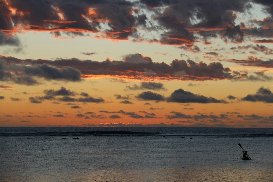
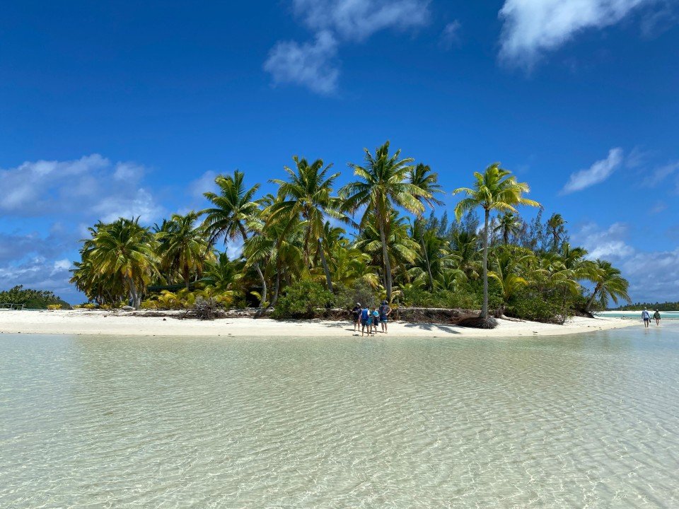
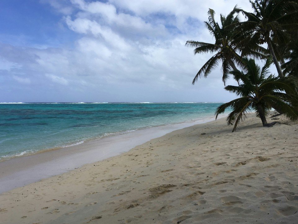
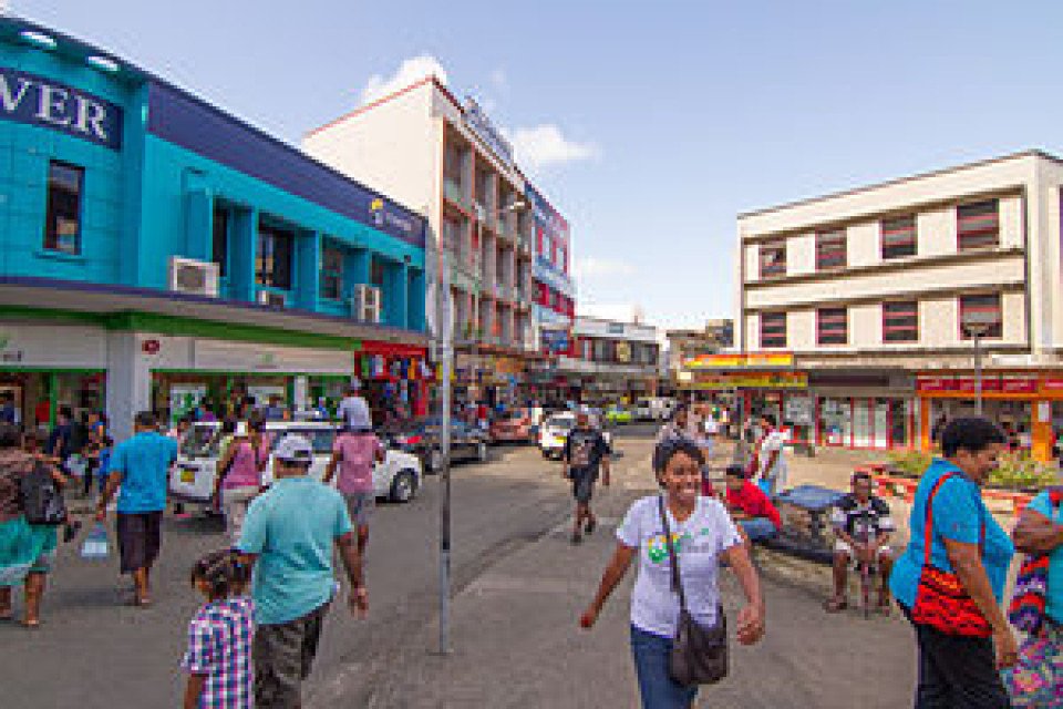
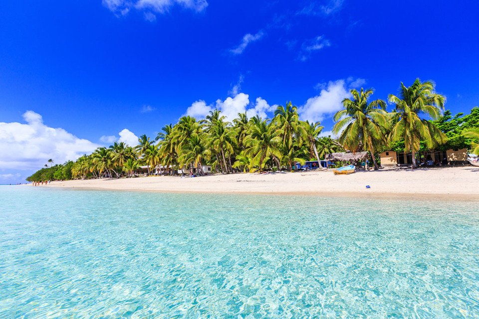
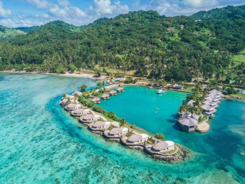
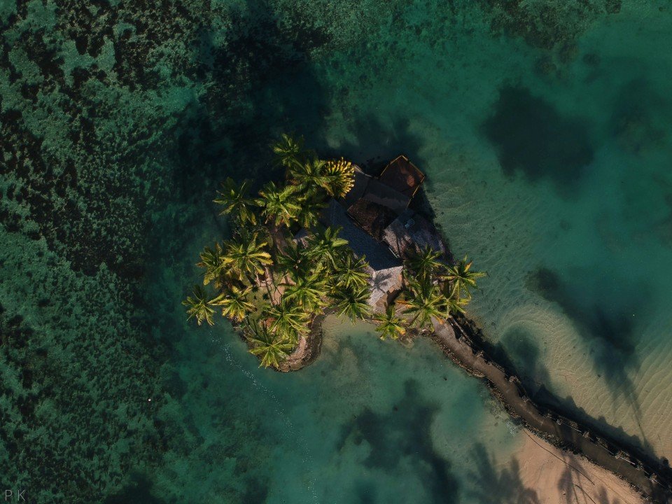
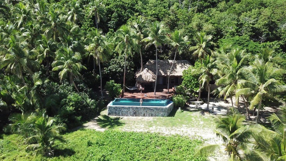
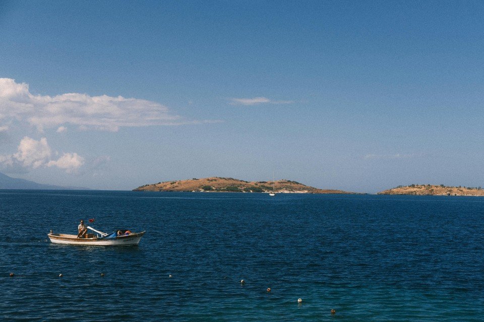
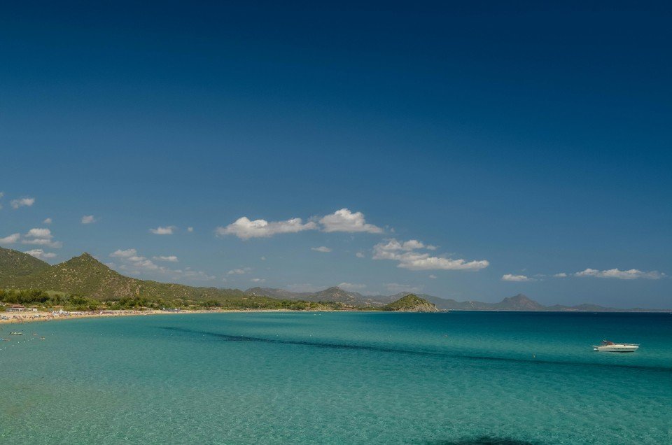
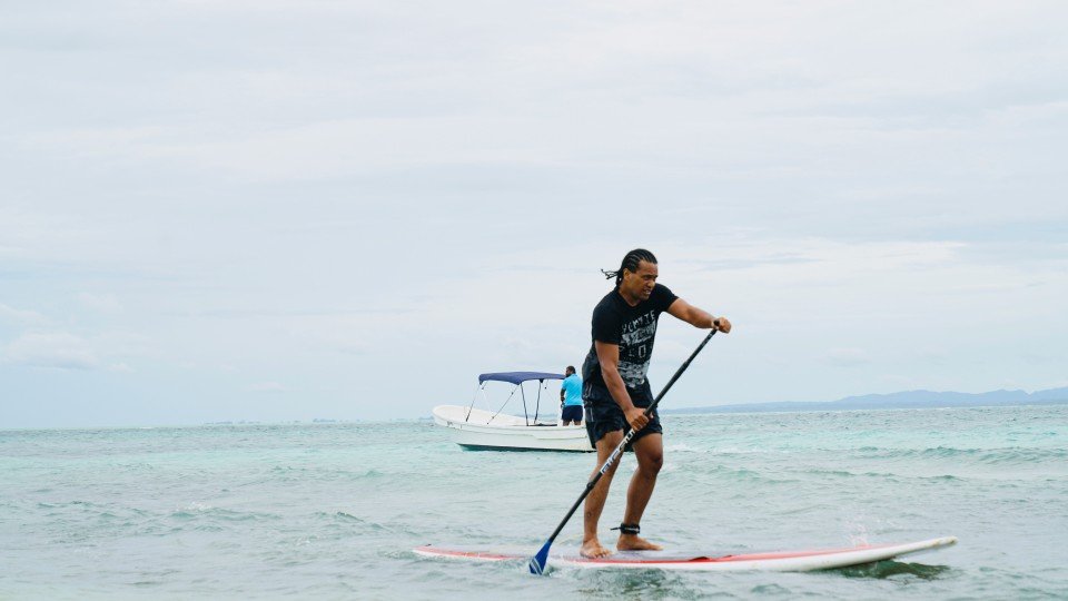
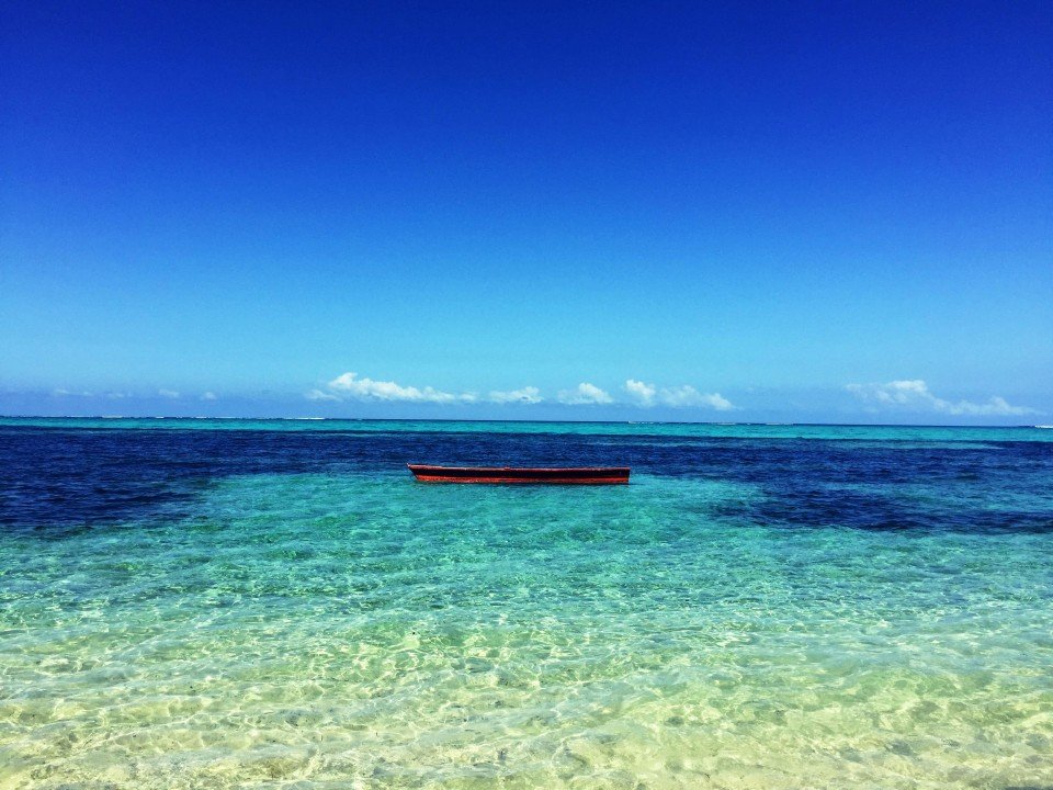
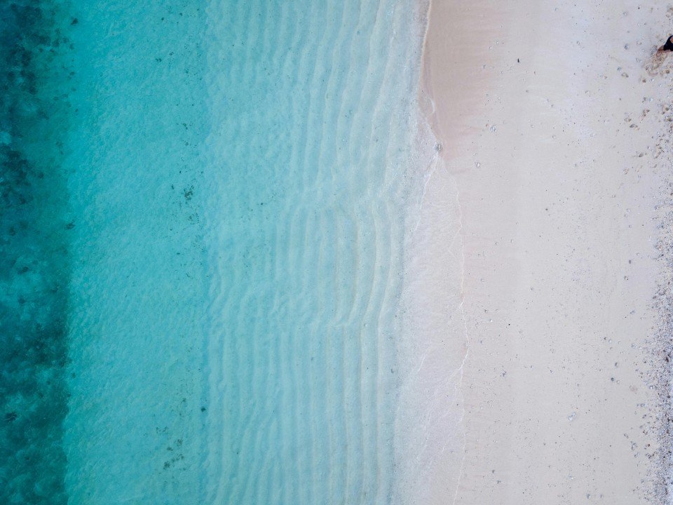
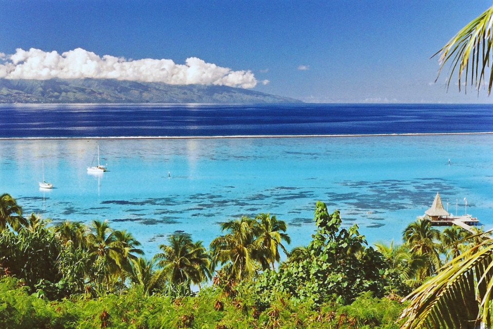
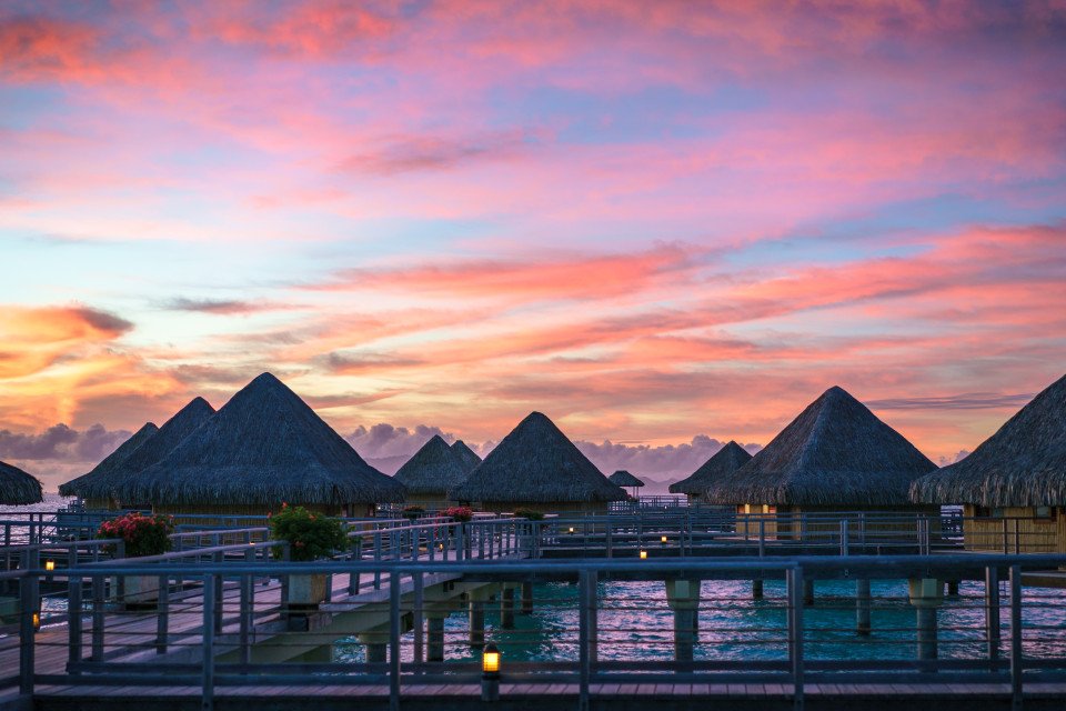
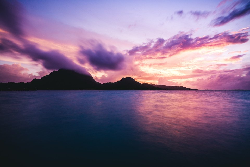
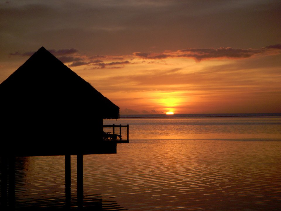
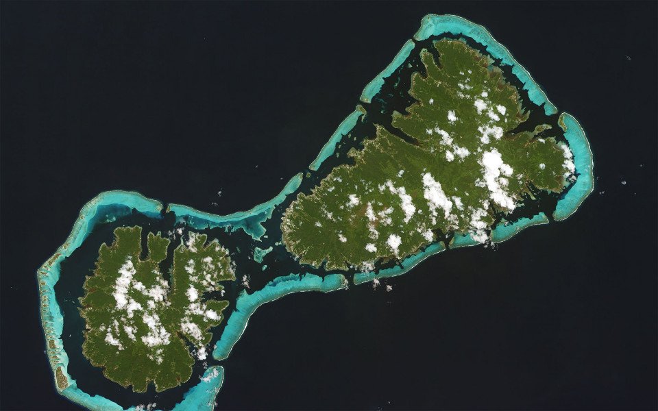
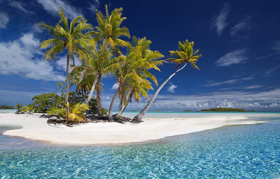
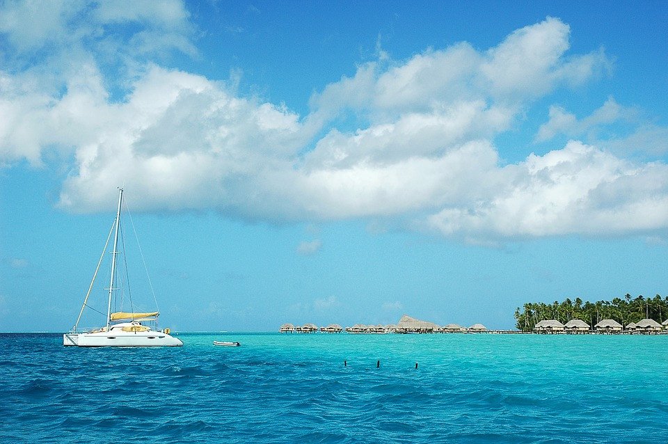
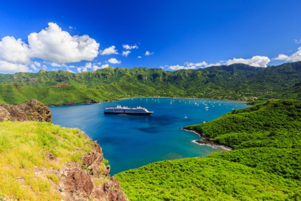
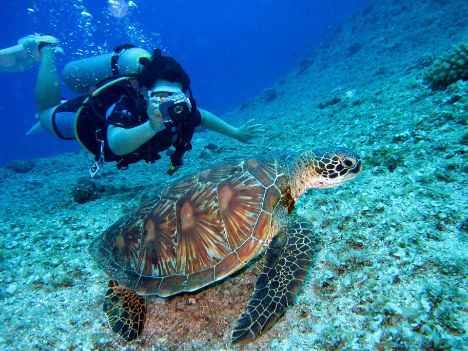
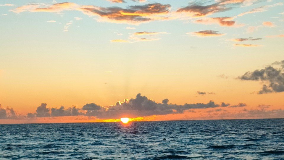
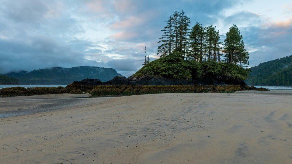
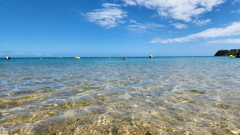
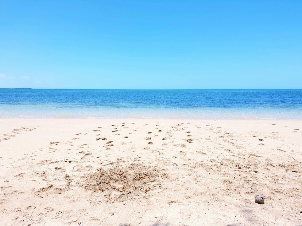
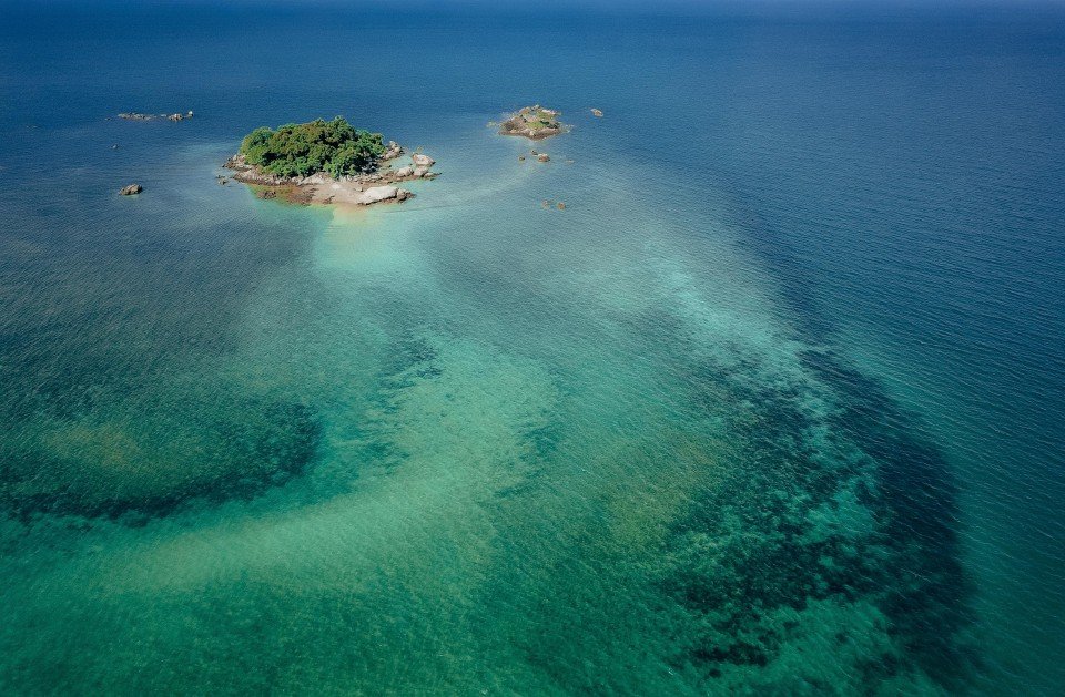
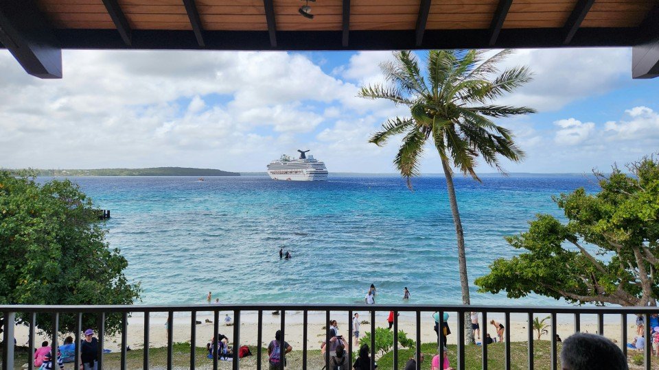
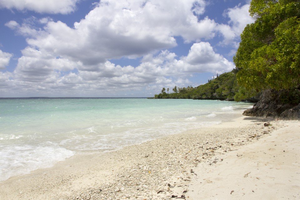
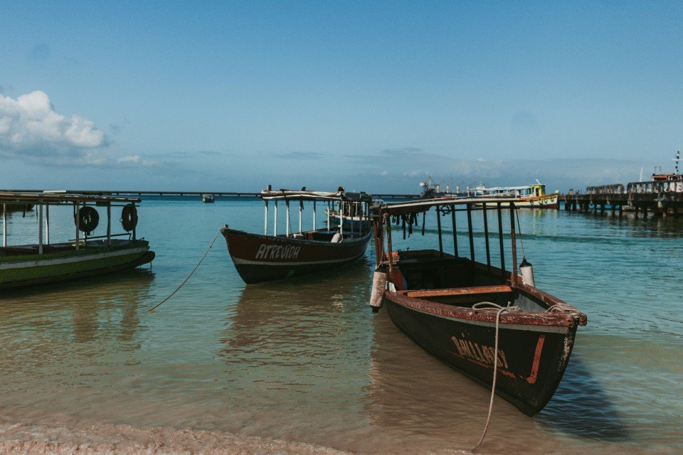
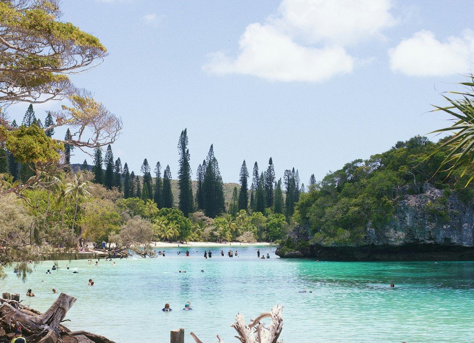
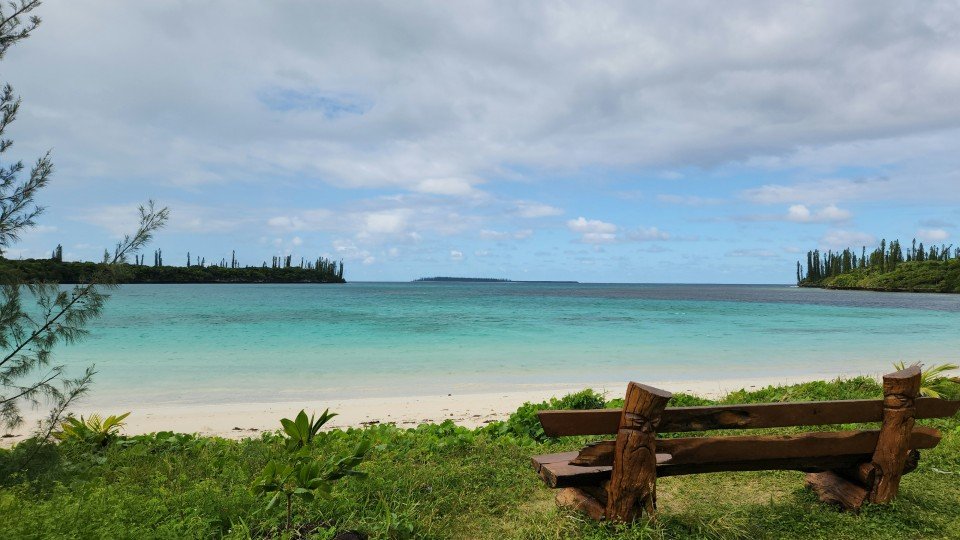
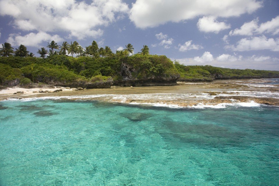
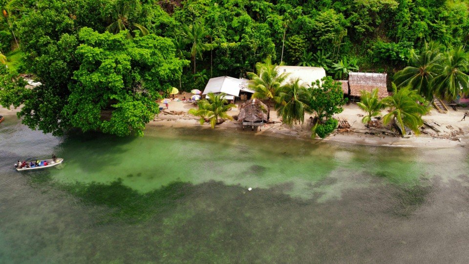
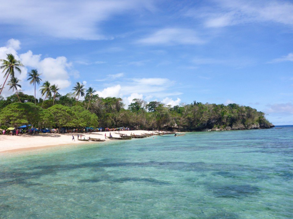
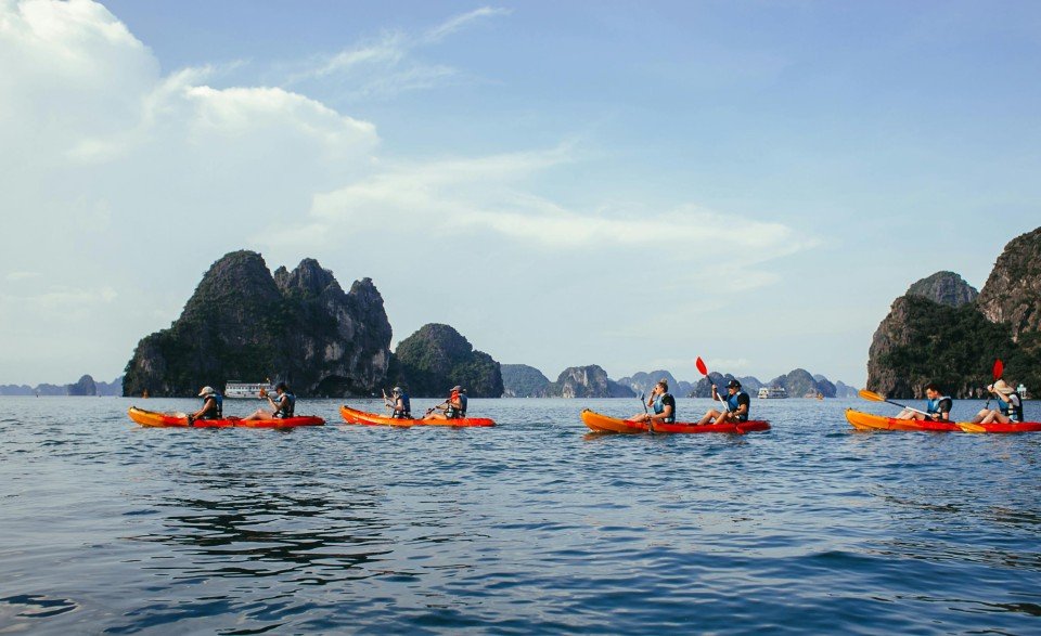
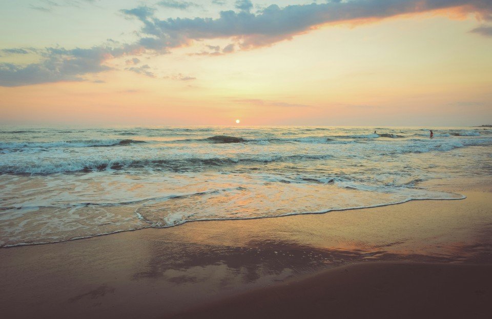
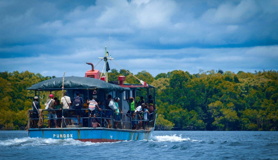
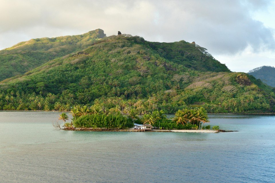
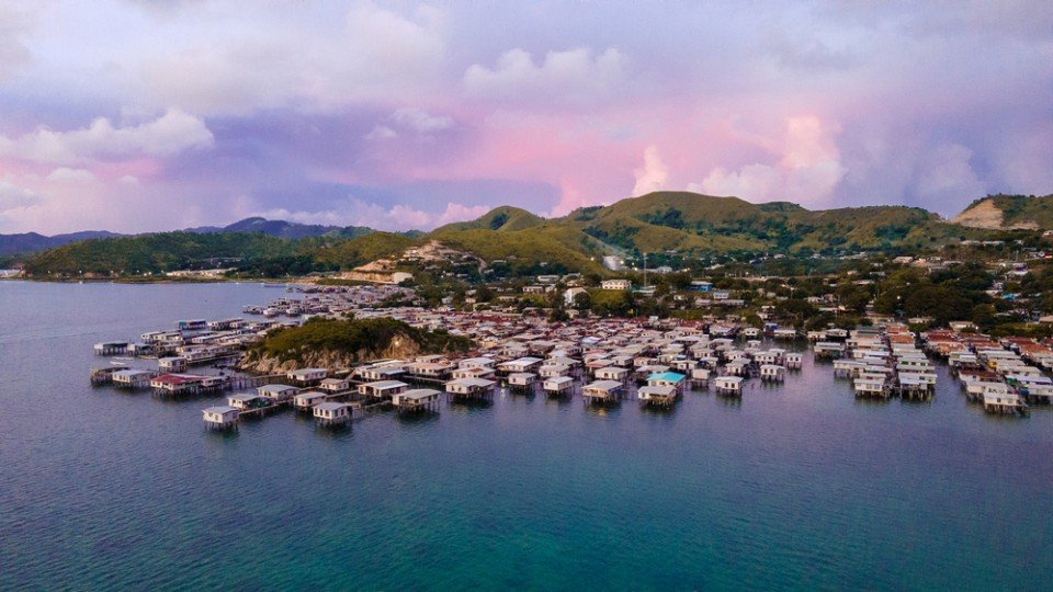
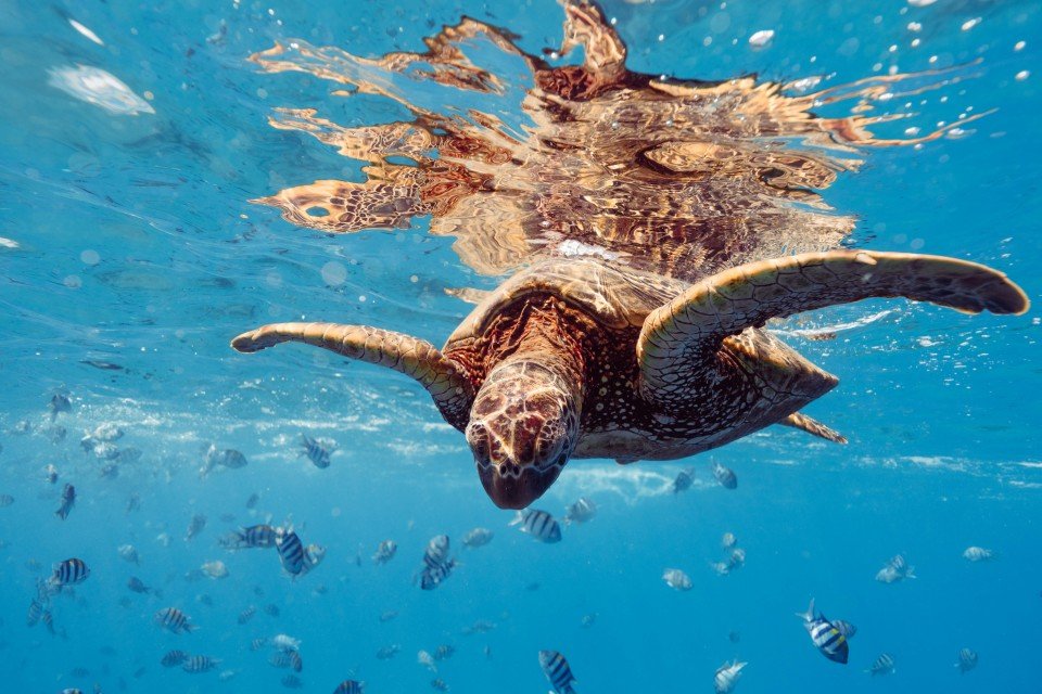
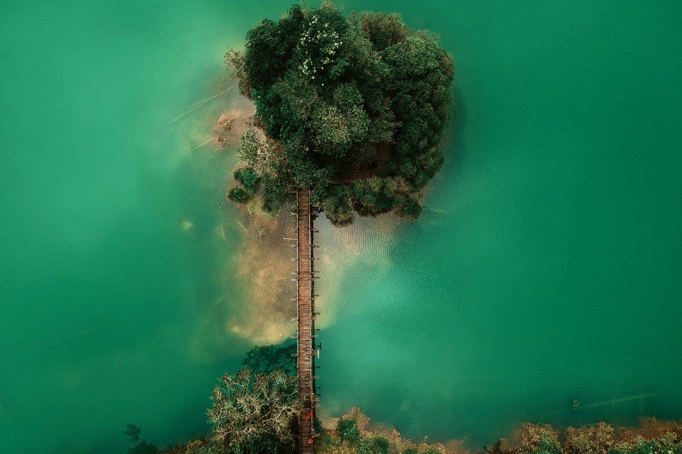
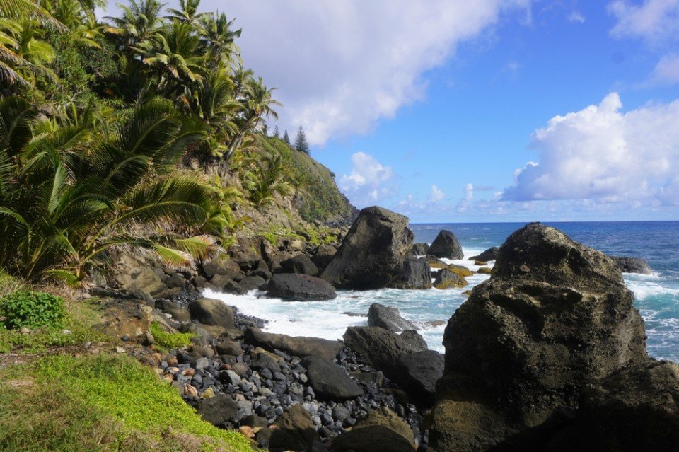
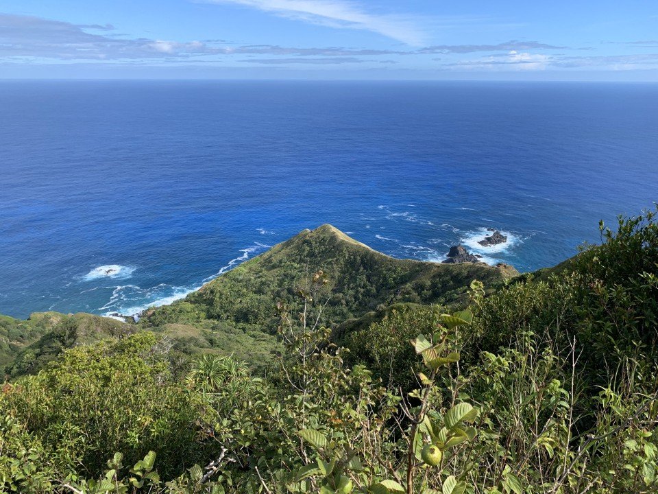
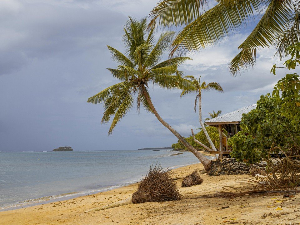
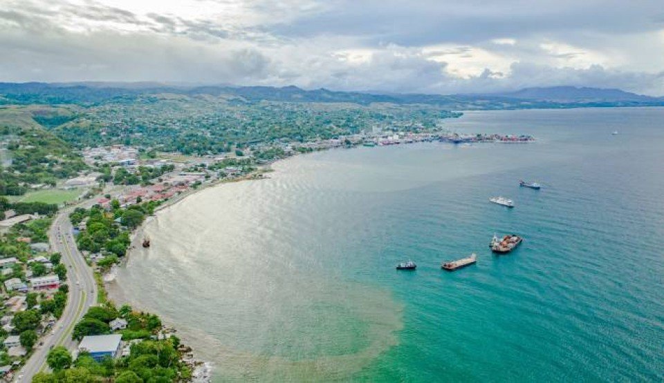
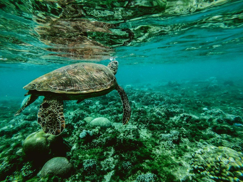
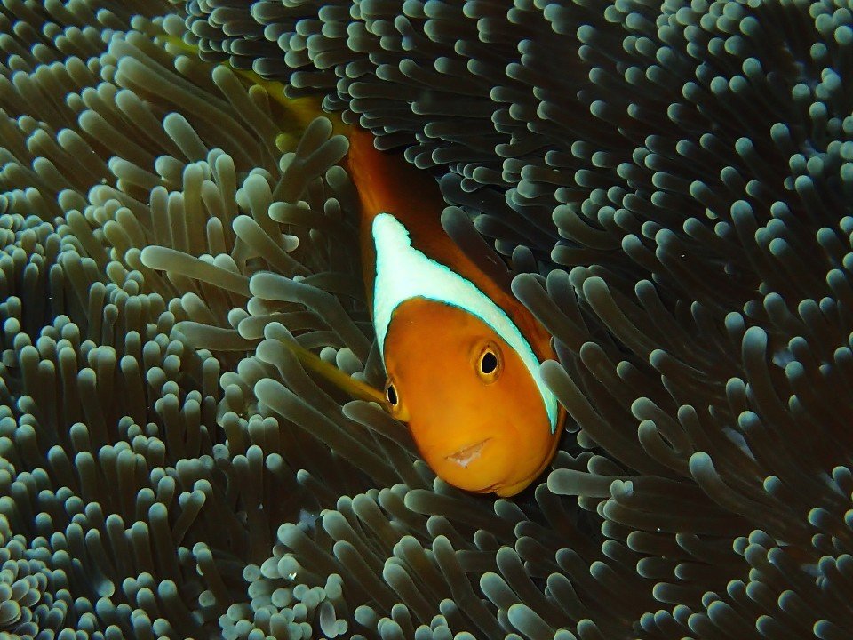
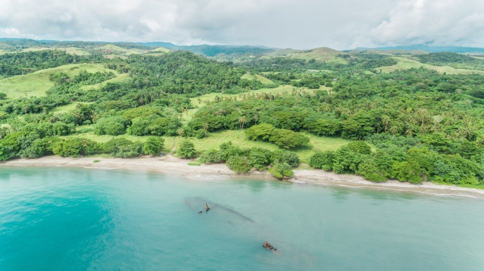
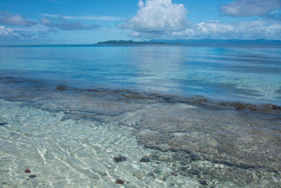
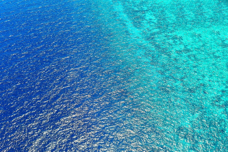
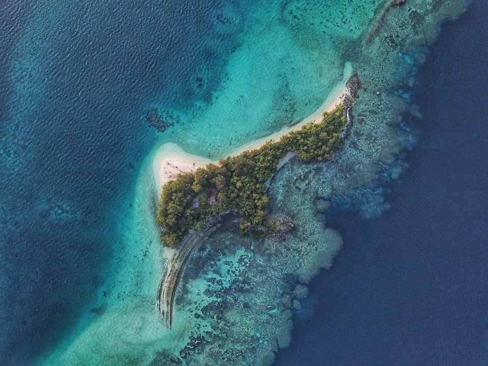
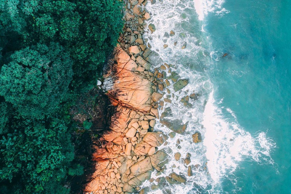
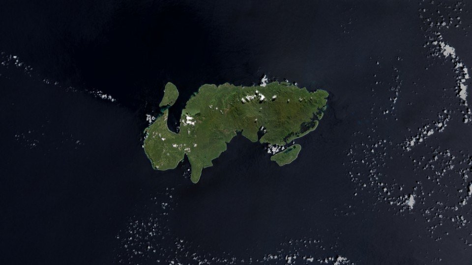
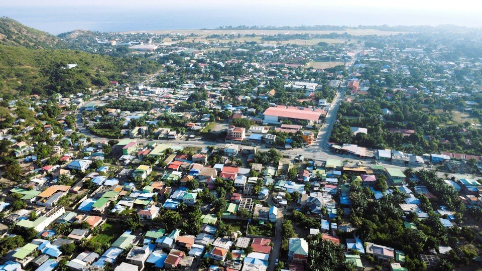
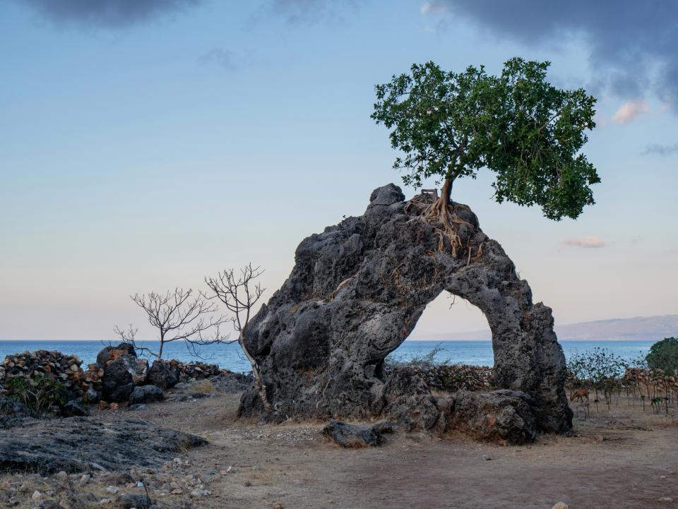
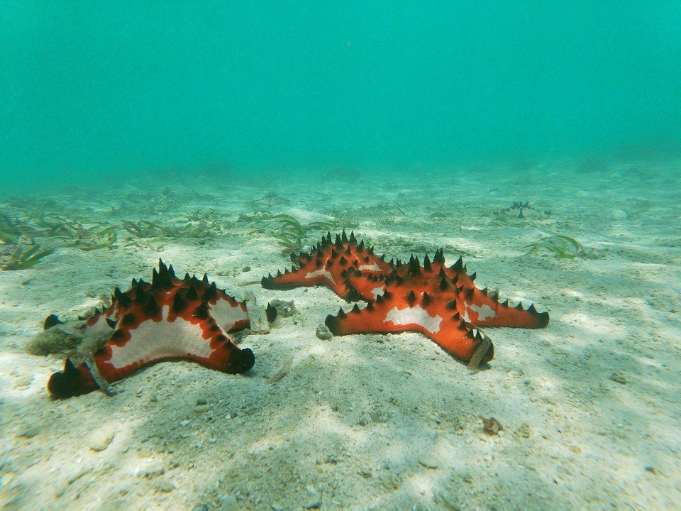
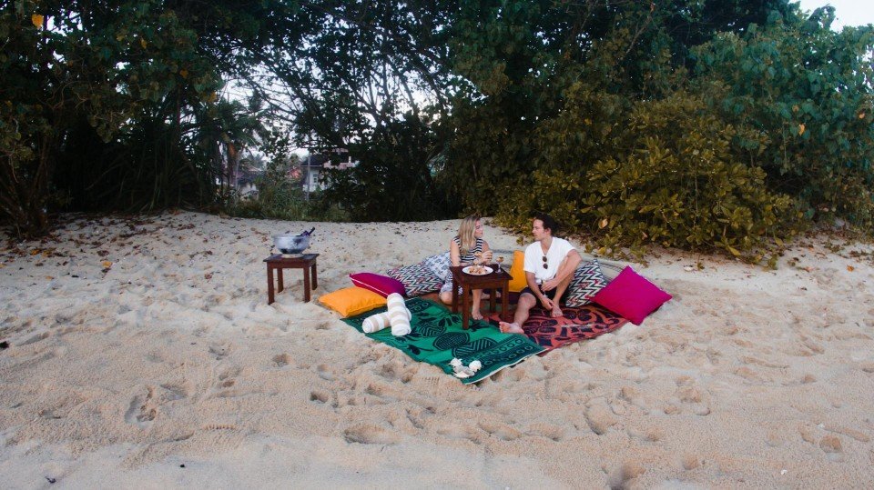
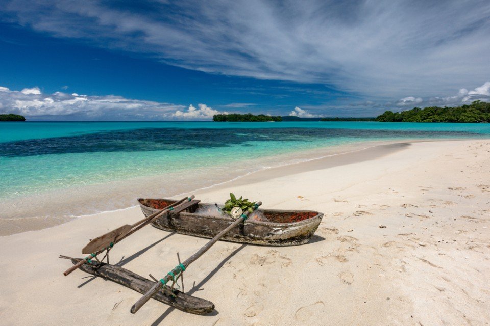
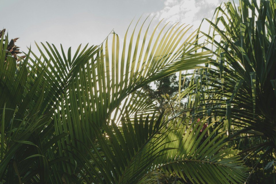
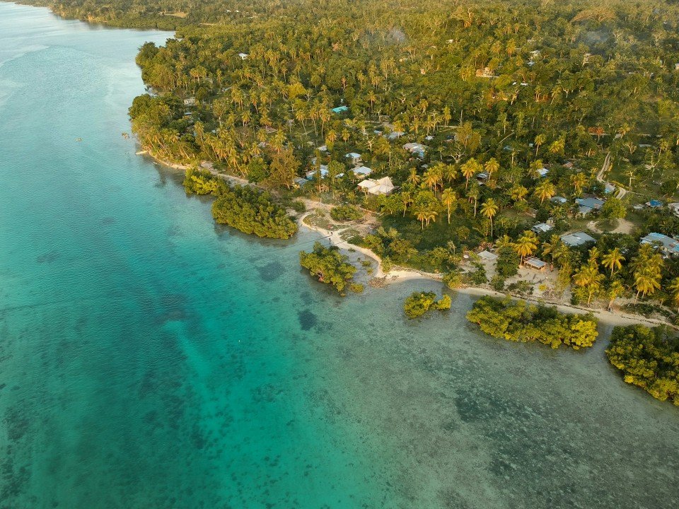
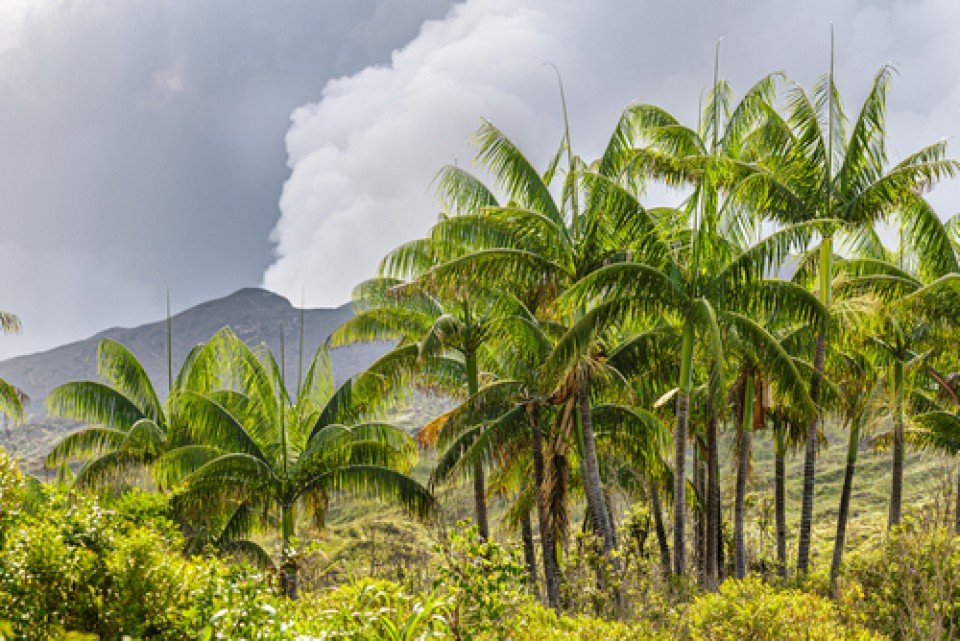
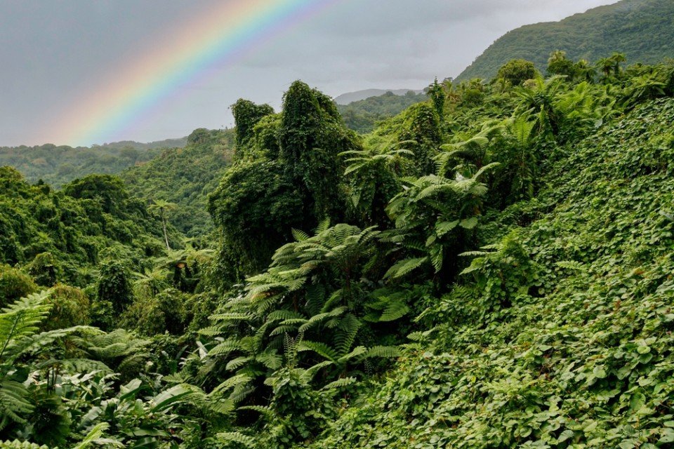
Pacific Cruises
Luxury South Pacific cruises calling at destinations such as Bora Bora, French Polynesia and the Galapagos Islands are often once-in-a-lifetime opportunities. By choosing your South Pacific cruise wisely, you can make huge savings on the brochure price.
A South Pacific cruise offers the ultimate paradise island escape. Often departing from Australia or New Zealand, South Pacific cruises include destinations such as Fiji, Bora Bora and the Galapagos Islands.
Here at Cruise118, our team of experts have access to all the best deals on Pacific Island cruises, and can help you find the cruise that's most suited to you. We can also book your flights and hotels to create your perfect package holiday deal. So please don't hesitate to give us a call.
Related Countries
Pago Pago

Pago Pago

Summary
American Samoa is a tropical paradise, located in the Pacific Ocean and home to some of the world's most unique flora and fauna. Pago Pago is the main harbour and village of Tutuila island. It is considered the capital of the territory and is the entry point for visitors exploring the picturesque volcanic islands.Rarotonga
Rarotonga
Summary
Life is laid back on Rarotonga, the most populous of the Cook Islands, but the residents are still an active bunch. Though there are plenty of white sandy beaches on which to laze—and people do, with plenty of napping— locals love to get out and move. Join them in snorkeling, diving, riding—bikes, horses, scooters—fishing, bush walking, and playing squash and tennis. Another popular, if odd, and favorite activity is lining up along the sea wall adjacent to the airport's runway to be jetblasted.Aitutaki
Aitutaki
Summary
Even high praise like the 'world's most beautiful island' from Lonely Planet's co-founder, Tony Wheeler, won't prepare you for the intoxicating intensity of the coal blue ocean, the glow of the pure white sand, and the soothing ripple of the palm-tree forests at incredible Aitutaki. Breathless romance hangs thick in the air here, especially when a riot of purples, reds and oranges are spreading across the sky, accompanying the sun's descent each evening. It wasn't until 1789 that Europeans discovered this island haven, with the HMS Bounty's crew arriving, just a few weeks before a mutiny tore them apart. The Europeans were beaten to the islands, however, by the streamlined wooden canoes of the Polynesian settlers, who arrived around 900AD. While Western missionaries would eventually visit to spread Christianity to the island - evidenced by the white, coral-encrusted walls of the many churches - their efforts to repress the people’s deep love of communal singing and dancing ultimately failed, and music forms a key component of the islanders' culture to this day.The beaches here are flawless, and swaying in a hammock, suspended between leaning palm trees, as the ocean gently ruffles the sand nearby, feels gloriously indulgent. Aitutaki Lagoon is a huge aquamarine pool of water, alive with a kaleidoscopic swirl of tropical fish, which lurk just below the surface. You may even be lucky enough to spot turtles padding across the sand, scraping themselves towards the open ocean.The snorkelling opportunities here, and on One Foot Island - where you'll want to acquire the badge of honour of having your passport stamped with the island's iconic huge footprint - are sublime. Don't miss the tiny island of Moturakau either, which is crammed full of exotic birds and crabs, who have dominion over the island's tangled, jungle terrain.Arutunga
Arutunga
Summary
Palmerston Island
Palmerston Island
Summary
The low-lying atoll of Palmerston is inhabited by three families, all descendants of William Marsters (1831-1899). Members of the community are known to greet visitors and guide small boats into the lagoon through a maze of coral reef. Once ashore, the whole community generally turns out to meet visitors as it is a rare occurrence. The island’s highlights include a church, the oldest house, the cemetery, the school, the underground gardens and “Duke’s Pool,” inviting for a swim or snorkel. In the lagoon’s waters it is possible to find colorful reef-fish, sea cucumbers, rays, and sea turtles. Overhead there is birdlife including tropicbirds, boobies, noddies, frigatebirds and terns.Avatiu, Rarotonga
Avatiu, Rarotonga
Summary
Suva

Suva

Summary
Fiji is a collection of tropical islands in the South Pacific and is well known for soft coral diving, white sandy beaches, and idyllic and peaceful surroundings. Because of its paradisiac surroundings, Fiji is a popular location for weddings and honeymoons. Suva is the capital of the Fiji archipelago, located on the southeastern coast of the island of Viti Levu and is the second most populated city of Fiji.
Lautoka

Lautoka

Summary
North of Nadi through sugarcane plantations and past the Sabeto Mountains is Lautoka, nicknamed the Sugar City for the local agriculture and its big processing mill. With a population of around 50,000, it's the only city besides Suva and, like the capital, has a pleasant waterfront. It's the sailing point for Blue Lagoon and Beachcomber Cruises but is otherwise unremarkable for tourists, itself having few hotels and fewer good restaurants. Locals recommend the city as a less-expensive place to shop for clothing, but note that it can take as long as 45 minutes to drive here. Legend has it that Lautoka acquired its name when two chiefs engaged in combat and one hit the other with a spear. He proclaimed "lau toka" (spear hit) and thus the future town was named.
Dravuni Island

Dravuni Island

Summary
Think island paradise anywhere in the world and you will almost certainly conjure up images of Dravuni Island. Shallow limpid seas surround palm tree fringed beaches that encircle the whole island bar the extremities. One of the 110 inhabited islands in the Kadavu archipelago with just 125 residents, Dravuni could be considered Fiji’s mischievous little brother. Smaller, much more manageable and far less touristy than Fiji, do not expect to find an infrastructure of hotels and car hire businesses. A village school and meeting house are perhaps the sum total of civilization here, but the exceptionally friendly welcome from the residents by far makes up for any lack of modern comforts. Instead this special little island has transparent seas that are unsurprisingly a snorkeller’s dream come true. A kaleidoscopic vision of colour thrives beneath the surface and is quite literally a visual feast for the eyes. However, for those who prefer their exploration to be land based, then the views from Hilltop Island are incredible, with the awe-inspiring panoramic vistas well worth the 20-minute hike. Dravuni also holds the auspicious title of being the northern most island of the Great Astrolabe Reef, where, according to legend there used to be a village that sunk into the sea. In order to honour the legend, villagers who fish here respect the story by not throwing garbage overboard.
Savusavu

Savusavu

Summary
Suva, a multiracial city, is the pulsing heart of the South Pacific. Its location is on a hilly peninsula in the southeast corner of Viti Levu Island, the largest in the Fijian archipelago. Suva was named the country's capital in 1882; the former capital was Luvuka. Suva's natural harbour was no doubt a deciding factor that prompted the change. Its port is the country's main shipping facility, accommodating vessels from all over the world. The town is backed by the lush green hills of the Suva-Rewa range. The waterfront district, much of which is built on land reclaimed from tangled mangrove swamps, provides the hub for much of Suva's activities. The downtown centre is a hodgepodge of high-rise office buildings, colonial houses with second-story verandas, parks and government structures. The northern and western mountains catch the trade winds, with the result being damp conditions year-round and frequent tropical downpours. Despite the ever-present possibility of showers, Suva is an excellent place to explore on foot. Many points of interest are located on Victoria Parade and along tree-shaded Queen Elizabeth Drive. Suva's botanical park is lush with flowering plants, trees and green lawns. In its centre stands the Fiji Museum, where objects reflect 3,000 years of Fijian history. The museum boasts a fine collection of Melanesian artefacts and various exhibits that reflect on Fiji's maritime era. Government House stands on a hillside surrounded by landscaped grounds. A stern, uniformed sentry guards the pillared gate entrance. The monthly Changing of the Guard is executed with almost as much pomp and ceremony as at London's Buckingham Palace. Friendly Fiji will charm you; here Melanesia mixes with Polynesia, ancient India with Oceania and tradition with the modern world. The Fijian greeting "Bula!" is extended warmly to strangers on city streets and country roads. Fiji is one of the South Pacific's most hospitable countries and a holiday destination that has much to offer in recreational activities, shopping and joyous celebrations.
Port Denarau
Port Denarau
Summary
Yasawa Island
Yasawa Island
Summary
Nabukeru is the largest village located within the grouping of the 20 volcanic islands that make up the Yasawa Islands in Fiji. Until 1987 these islands were closed to land-based tourism and could only be viewed from aboard a vessel. With their clear, aquamarine waters and ecologically diverse tropical, mountainous landscapes, these islands were the location for the filming of the romantic adventure film The Blue Lagoon (both the 1949 and 1980 versions). The islands are famous for the limestone Sawa-i-lau caves, which must be accessed by swimming at low tide through an underwater tunnel. Nabukeru villagers assert that the cave is the heart of the Yasawas.Taveuni Island
Taveuni Island
Summary
Beqa Island
Beqa Island
Summary
Leleuvia Island
Leleuvia Island
Summary
Lakeba Island
Lakeba Island
Summary
Lomaloma, Vanua Balavu
Summary
Fulaga Island
Fulaga Island
Summary
Papeete, Tahiti

Papeete, Tahiti

Summary
Papeete will be your gateway to the tropical paradise of French Polynesia, where islands fringed with gorgeous beaches and turquoise ocean await to soothe the soul. This spirited city is the capital of French Polynesia, and serves as a superb base for onward exploration of Tahiti – an island of breathtaking landscapes and oceanic vistas. Wonderful lagoons of crisp, clear water beg to be snorkelled, stunning black beaches and blowholes pay tribute to the island's volcanic heritage, and lush green mountains beckon you inland on adventures, as you explore extraordinary Tahiti. Visit to relax inside picturesque stilted huts, which stand out over shimmering water, as you settle into the intoxicating rhythm of life, in this Polynesian paradise.Moorea

Moorea

Summary
Mo’orea is one of the Society Islands of the French Polynesia. Located in the South Pacific, it is considered a magical island thanks to its majestic volcanic mountains, set against warm lagoon waters and green meadows. It is an island that attracts visitors of all abilities wanting to explore both above and below the ocean waters.Bora-Bora

Bora-Bora


Summary
Simply saying the name Bora Bora is usually enough to induce gasps of jealousy, as images of milky blue water, sparkling white beaches and casually leaning palm trees immediately spring to mind. The imagination doesn't lie, either, and if you visit, you’ll soon realise this island is every bit as gorgeous as you ever imagined. Thatched wooden huts stand out over shallow, sparkling seawater, with vivid fish swirling just below. Soak up the sun, scuba dive, or simply revel in the opulent luxury of one of the island's many magnificent resorts. If blissful inactivity doesn't appeal, then get active, and hike the greenery of the sharp Mount Pahia.Huahine

Huahine

Summary
Raiatea

Raiatea

Summary
Motu Mahaea, Society Islands
Summary
Rangiroa

Rangiroa

Summary
Fakarava

Fakarava

Summary
Taha'a Island

Taha'a Island

Summary
Nuku Hiva Island

Nuku Hiva Island

Summary
Uturoa, Raietea Island

Uturoa, Raietea Island

Summary
Tikehau Atoll

Tikehau Atoll

Summary
Guam
Guam
Summary
Situated in the western Pacific Ocean lies Guam, the largest and southernmost island in the Mariana Islands archipelago. There is a wealth of history in Guam, it was ceded to the US by Spain in 1898 after the Spanish-American War. Captured by Japan in 1941, it was retaken by the US 3 years later. Come to the end of your expedition in Guam where you can enjoy local culture and visit the historic landmarks.Fanning Islands
Fanning Islands
Summary
Christmas Island
Christmas Island
Summary
Majuro
Majuro
Summary
Lamotrek Atoll
Lamotrek Atoll
Summary
Lamotrek is a coral atoll in the Federated States of Micronesia, and one of the fourteen outlying atolls that partly makeup the island State of Yap. While the total land area is less than half a square mile, it encloses a reef that is 12 square miles in size. The atolls are considered somewhat separate from Yap proper, which is made up of three contiguous islands set higher along the Philippine Sea Plate. The population of Lamotrek is approximately 373, and the residents are accustomed to visitors but still maintain their own culture proudly. Visitors to this small island will be greeted with generosity and friendliness that makes up the essence of the Yapese culture.Gaferut Atoll
Gaferut Atoll
Summary
Gaferut Atoll is a rookery island full of nesting birds, and one of the fourteen outlying atolls that partly make up the island State of Yap in the Federated States of Micronesia. Just 1,500 feet long and 500 feet wide, Gaferut is called Fayo by the Fareulep people of the neighboring atolls; meaning stone or rock in the Woleaian language. The atolls are considered somewhat separate from Yap proper, which is made up of three contiguous islands set higher along the Philippine Sea Plate. Gaferut and its peer atolls are southeast of a nearly 1-mile reef that teems with beautiful undersea life amidst the clear turquoise waters.Yap
Yap
Summary
Situaed in the Federated Statesw of Micronesia in the Pacific Ocean, the island of Yap is ringed by coral reefs. The island's waters are home to many colourful species of reef fish, manta rays and several species of shark.
The Yap Living History Museum in the town of Colonia is a great place to learn about Micronesian culture and history, through seeing local crafts and dance.
A very interesting aspect of Yap is that they used human-sized, disc-shaped stones called rai as currency for centuries. Most of them are so large, they are too heavy to move. They are called 'rai' as the first ones were shaped like whales, and rai means whale in the local language, Yapese. They are themselves works of art, steeped in meaning. They are all owned by local families and accounted for in Mangyol stone money bank, in the eastern Yap province of Gagil, hundreds of pieces of this ancient currency can still be seen scattered throughout the island.
Nature lovers will enjoy walking the Tamilyog Trail, which winds through dense forest.
Satawal
Satawal
Summary
Satawal is a remote coral atoll made up of just over 1 km2 of land that is thick with coconut and breadfruit trees. It is home to approximately 500 inhabitants. Archaeologists have not yet agreed about when or how the islands of Yap and Satawal were settled. The people of Satawal are culturally and linguistically related to those of Chuuk in the Caroline Islands. Satawal has a narrow fringing reef and is not frequently visited by outsiders. After World War II, the island was controlled by the United States and administered as part of the Trust Territory of the Pacific Islands from 1947. Satawal became an official part of the Federated States of Micronesia in 1979.Chuuk (ex Truk)
Chuuk (ex Truk)
Summary
Chuuk Lagoon, also previously known as Truk Lagoon is one of the four states of the Federated States of Micronesia. The cluster of 16 much-eroded volcanic islands have mangrove swamps along their coasts with rich rainforests in the central mountainous areas. The islands are hugely popular with scuba divers thanks to the incredibly interesting shipwrecks which have become foundations for new reef growth.Nouméa
Nouméa
Summary
With its elegant urban infrastructure in a stunning natural setting, Noumea is a truly unique island and part of the New Caledonia archipelago. Noumea started as a penal colony, but has since evolved to a lovely metropolis and today has almost two thirds of New Caledonia’s population. While much of the archipelago of New Caledonia has a large percentage of Kanak people – the indigenous inhabitants who live in tribal areas across the country – Noumea is predominantly European with a strong French influence. The city’s center and Place de Cocotiers, the main park, are located close to the harbor and several churches date back to the late 19th century. Other attractions include a world-class aquarium at Anse Vata, several long beaches to the south, and a noteworthy collection of Kanak and South Pacific objects at the Museum of New Caledonia. The architectural gem of the city is the Tjibaou Cultural Center, the structure of which resembles sails, or the roofs of Kanak houses hidden behind mangroves.Maré Island
Maré Island
Summary
Kuto Bay, Isle des Pins
Summary
Named by Captain Cook in the 18th century for its prominent, spiny pine trees, Île des Pins is a vibrantly beautiful island located in the Pacific Ocean and part of the New Caledonia archipelago. Surrounded by some of the world’s brightest aquamarine blue water, the island has also been nicknamed as “the closest island to paradise,” with tropical fish and coral that can be seen through the transparent waters of its lagoon. Île des Pins was used in the 19th century as a prison for political exiles from France and remains can still be seen at Kuto and in the village of Ouro. Today the island’s primary inhabitants of the island are the native Melanesian Kanaks, with 2,000 residents. One of the local sites to see on this island are the spear-shaped carvings surrounding a Catholic monument in the city of Kuto. The beaches in Kuto and close-by Kanumera are some of the finest beaches in the South Pacific and while Kuto is for swimming, Kanumera and the giant rock in its bay are for snorkelling.Lifou Island
Lifou Island
Summary
Lifou is a commune of France in the Loyalty Islands of New Caledonia. Lifou is made up of two main islands - Lifou Island and Tiga Island- in additional to a number of uninhabited islets. Lifou Isand is the largest atoll in the world. The island is actually made of fossilized coral - known as a makatea. Lifou island does not have any surface water and it relies on a freshwater reservoir accessed by caves. Lifou Island is best known for its vast atoll (the largest in the world). This ring-shaped coral reef affords some of the best snorkelling in the world. Popular activities on this island include scenic walks, relaxing days on the beach, swimming and snorkelling. There are no organized tours being offered during this call to Lifou Island, guests may explore on their own.Easo, Lifou Island
Easo, Lifou Island
Summary
Tadine, Maré
Tadine, Maré
Summary
Kouaré Island
Kouaré Island
Summary
Hienghene
Hienghene
Summary
Port-Bouquet Bay
Port-Bouquet Bay
Summary
Ilot Casy
Ilot Casy
Summary
Alofi
Alofi
Summary
Niue, or “The Rock” as it is known to its inhabitants, is one of the largest raised coral atolls in the Pacific, an island type named “Makatea” after an island in French Polynesia. Niue’s coast lends itself to exploration with stops at points of historical and scenic interest including opportunities for snorkeling, exploring limestone caves, and swimming in Niue’s crystal clear water.Niue Island
Niue Island
Summary
Beveridge Reef
Beveridge Reef
Summary
Home to amazingly bright turquoise waters, Beveridge Reef is located within Niue, in the central Pacific Ocean to the northeast of New Zealand. Beveridge Reef is an undersea mountain capped by a coral atoll that encloses a small lagoon. The larger island of Niue is rather unique in being an isolated island rather than an archipelago. This uniqueness has its influence on the marine life found along Niue's coasts, as it lacks an interconnected 'network' of places to live. The Beveridge Reef was first reported in 1847 by the British Captain Lower-Tinger, commander of the brig 'Berveridge'. Apart from breaking seas, Beveridge Reef is not visible as it is approached. The best view awaits those who are able to slip into the water and enjoy the view under the sea’s surface.Saipan
Saipan
Summary
The Northern Mariana Islands are a chain of 15 tropical islands in the western Pacific Ocean, about 120 miles (193 km) north of Guam. At 12 miles in length and 5 miles wide (19 x 8 km), Saipan is the largest of the 15 islands, and site of the CNMI capital. Settlement of Saipan and its neighbouring islands occurred circa 2000 BC by the Chamorro people who arrived via similar routes as their cousins in Guam. Ferdinand Magellan first sighted the Mariana Islands in March 1521 and claimed “Las Islas de las Velas Latinas” for Spain. In 1668, the islands’ name changed to the present one in honour of Mariana of Austria, the widow of Spain’s king, Philip IV. Germany bought the islands from Spain in 1899, but was forced out by the Japanese during World War I. American forces entered the Marianas on June 15, 1944 and were met with fierce resistance by the Japanese. In the following months, the Americans managed to gain control and started to build bases and airfields for Pacific launching pads. The Marianas became part of the Pacific Islands Trust Territory granted to the United States by the United Nations in 1947. After 20 years of American presence, the people opted out of the U.S. Trust and voted for the Commonwealth of the Northern Marianas, finally gaining their self-government in January 1978. In 1986, President Ronald Reagan proclaimed the Northern Marianas a United States Commonwealth and its residents U.S. citizens. Today, Saipan boasts a well-developed tourist industry, which is concentrated around Garapan, the capital. In addition to beaches and colourful marine life, American World War II relics, overgrown Japanese bunkers, and mangrove swamps can be seen around the island. Garapan, located on the western side of the island, is home to major hotels and the American Memorial Park, which honours American soldiers who died during the Battle of Saipan.Pagan Island
Pagan Island
Summary
Among the 15 islands of the Northern Marianas, Pagan Island consists of two stratovolcanoes joined by a strip of land that is less than 600 meters (2,000 feet) across at its narrowest point. The island was completely evacuated in 1981 when a large eruption forced the small Micronesian community to relocate to Saipan. Pagan, the northern volcano, is still active, and one of the more recent lava-flows has come close to the small former settlement on the west coast. To reach this lava flow one has to follow an old runway used by the Japanese during the 1940s, where the remains of several bunkers, pill boxes and planes can still be seen. A hike up the ridge will reveal a scenic view of two lakes further north. The Marianas fruit bat, the Micronesian Megapode, and the impressive coconut crab used to thrive on Pagan. Unfortunately, the island is rumored to be a military training ground and may be declared off-limits in the near future.Maug Islands
Maug Islands
Summary
Three small elongated islands up to 2.3 km (1.4 miles) in length are all that remains of Maug volcano. The islands form the northern, western, and eastern rims of Maug’s largely submerged caldera. The highest point reaches 227 meters (745 feet) above sea level and the caldera has an average submarine depth of about 200 meters (656 feet). The natural harbor contains a twin-peaked central lava dome that rises up from the seafloor to within a few fathoms of the surface. This perfect natural harbour often shelters dolphins near the southern entrance. The truncated inner walls of the caldera on all three islands show expose lava flows and pyroclastic deposits that are cut by radial dikes. East Island has been used to grow coconut palms and the interior is vegetated providing nesting sites for several bird species. In fact, eleven seabirds, two shore birds and three land birds (the Marianas Megapode, Micronesian Starling and White-collared Kingfisher) are known to be found on Maug.Alotau
Alotau
Summary
Alotau is the provincial capital of the Milne Bay Province located in the southeast bay of Papua New Guinea. The town and surrounding area has been an important staging ground during World War II and we will see remains and memorials dating back or referring to the war. On a tour of the town, visitors will appreciate lovely vistas of the bay and experience the markets, which are frequented not only by locals, but also by islanders selling their products or looking for produce to take back into Milne Bay. Alotau is an important port facility for the islands and attracts many vendors of handicrafts from different islands.Rabaul, Bismarck Archipelago
Rabaul, Bismarck Archipelago
Summary
Rabaul, the former provincial capital, has quite a remarkable location. The town is inside the flooded caldera of a giant volcano and several sub-vents are still quite active today! The fumes of the volcano Tavurvur can be seen continually and the town suffered greatly during the last major eruption of 1994 when some 80% of the houses collapsed due to the ash raining down onto their roofs. Rabaul has a Volcano Observatory sitting atop the town’s center, monitoring the 14 active and 23 dormant volcanoes in Papua New Guinea. A small museum opposite the bunker used by Yamamoto during World War II shows exhibits relating to Rabaul’s local, German, Australian and Japanese past from the 19th century to Papua New Guinea’s independence in the 1970s.Kiriwina Island
Kiriwina Island
Summary
Conflict Island Group
Summary
Kitava
Kitava
Summary
Madang
Madang
Summary
The eastern half of the island of New Guinea - second largest in the world - was divided between Germany (north) and the United Kingdom (south) in 1885. The latter area was transferred to Australia in 1902, which occupied the northern portion during World War I and continued to administer the combined areas until independence in 1975. A nine-year secessionist revolt on the island of Bougainville ended in 1997 after claiming some 20,000 lives. On the north coast of the island, we find colourful Madang, called the “prettiest town in the South Pacific”. Its peninsula-setting is a showplace of parks, waterways, luxuriant shade trees and sparkling tropical islands. Although small, the town has modern urban facilities, including hotels, department stores, markets and art shops. The people of Madang can be broken into four distinct groups - islanders, coastal people, river people and mountain people. These groups are similar in appearance except for the smaller Simbai mountain tribesmen from the foothills. The traditional dress consists mainly of traditional dyed multi-coloured grass skirts made out of either pandanas leaves or sago palm. The women from the mountain areas wear skirts that are colourless, narrow and stringy. Unlike the women, men wear meshy net aprons in front and a clutter of target leaves astern.Wewak
Wewak
Summary
Fergusson Island, D'Entrecasteaux Islands
Summary
Port Moresby
Port Moresby
Summary
Tufi
Tufi
Summary
Dobu, D'Entrecasteaux Islands
Summary
Samarai Island
Samarai Island
Summary
Pitcairn Island
Pitcairn Island
Summary
With a total of 56 residents on the island, Adamstown is the capital of the Pitcairn Islands and the only populated settlement, as all of the other Pitcairn Islands are uninhabited (although were populated by Polynesians in the 11th through 15th centuries). Halfway between Peru and New Zealand, Pitcairn was the perfect hiding spot for the famed HMS Bounty mutineers and their Tahitian wives. Not only had the island been misplaced on early maps of the region, but it can also be very difficult to come ashore as large breakers tend to build up just in front of the small harbour of Bounty Bay. On shore visit the local museum that houses the HMS Bounty Bible, the historic Adamstown Church, view Fletcher Christian’s cave, or keep an eye out for the Pitcairn Reed Warbler.Adamstown
Adamstown
Summary
Adamstown is the capital of the Pitcairn Islands and the only populated settlement, as all of the other Pitcairn Islands are uninhabited (although were populated by Polynesians in the 11th through 15th centuries).
Halfway between Peru and New Zealand, Pitcairn was the perfect hiding spot for the famed HMS Bounty mutineers and their Tahitian wives. Not only had the island been misplaced on early maps of the region, but it can also be very difficult to come ashore as large breakers tend to build up just in front of the small harbour of Bounty Bay.
On shore visit the local museum that houses the HMS Bounty Bible, the historic Adamstown Church, view Fletcher Christian’s cave, or keep an eye out for the Pitcairn Reed Warbler.