Summary
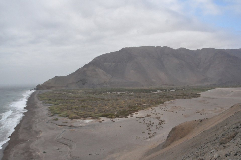
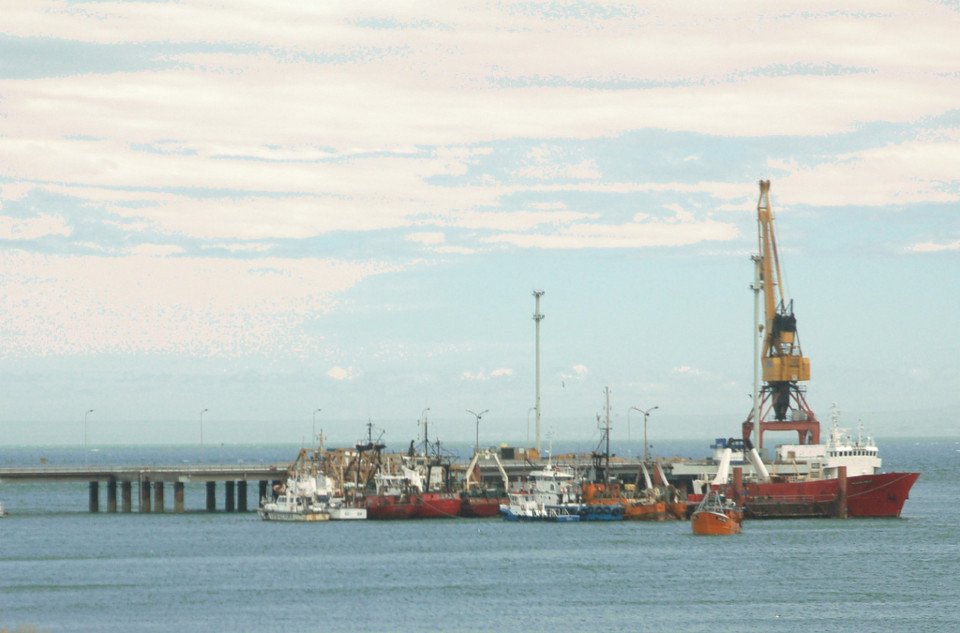
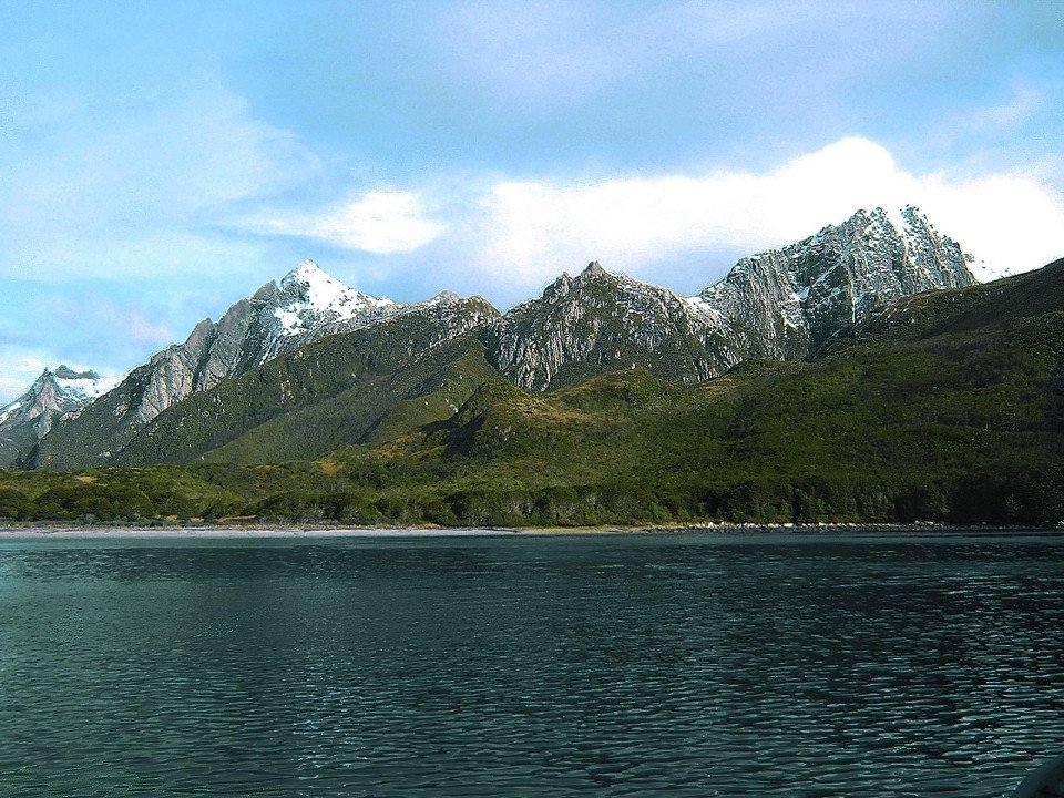
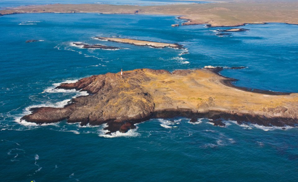
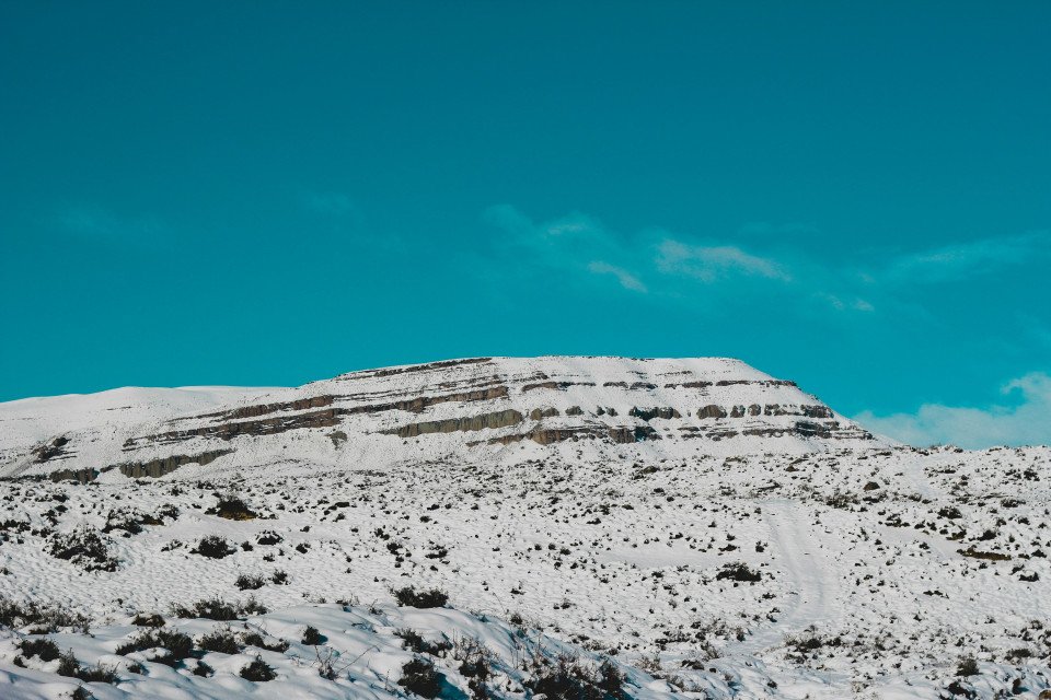
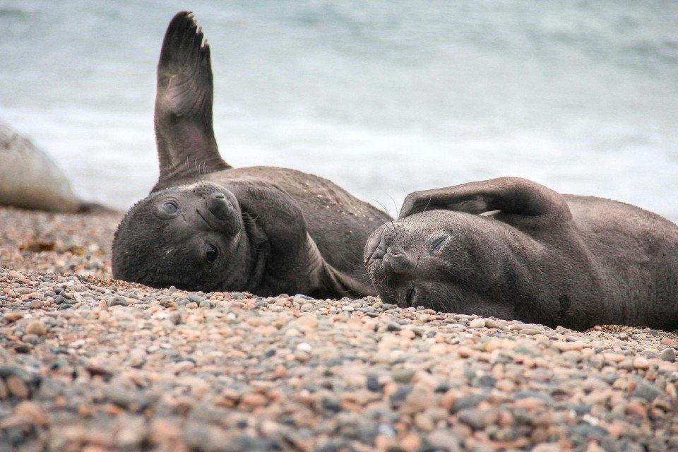
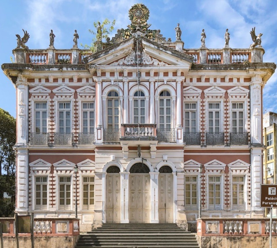
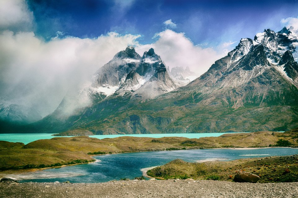
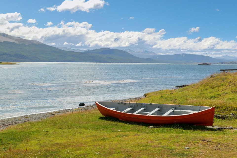
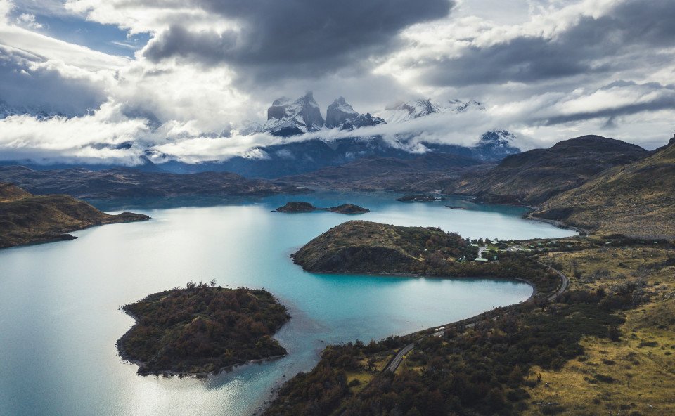
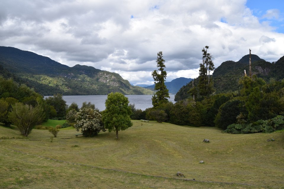
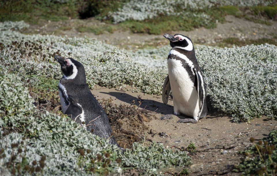
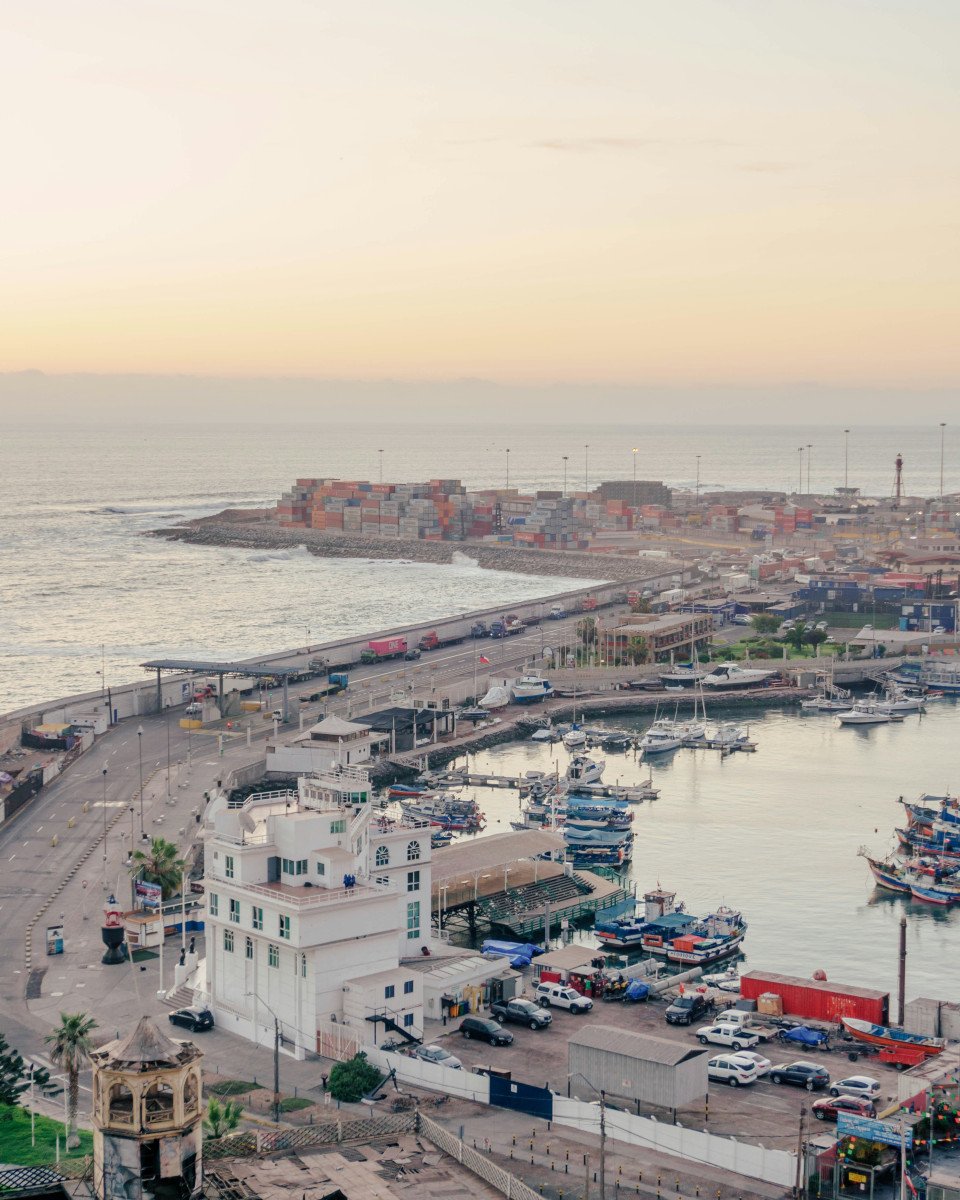
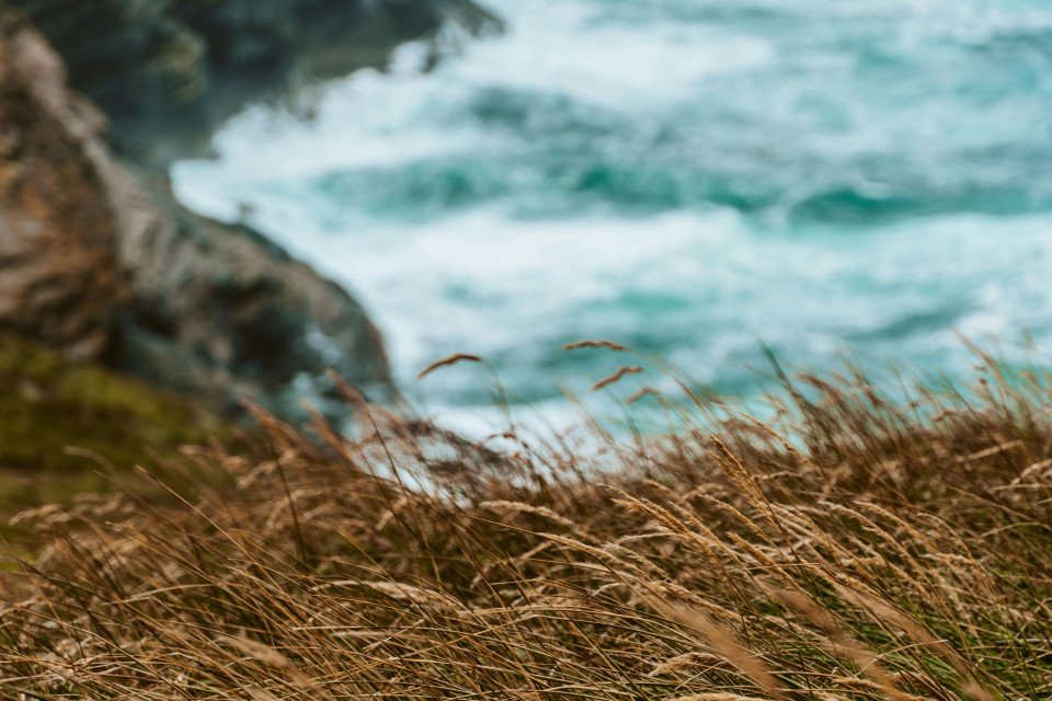
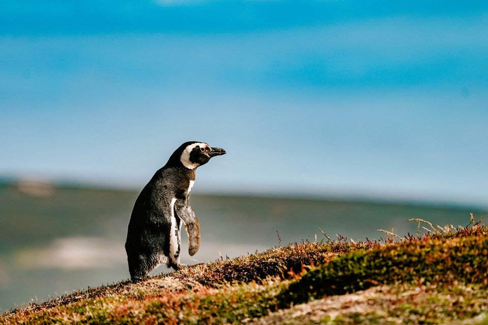
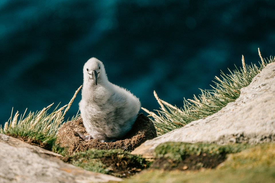
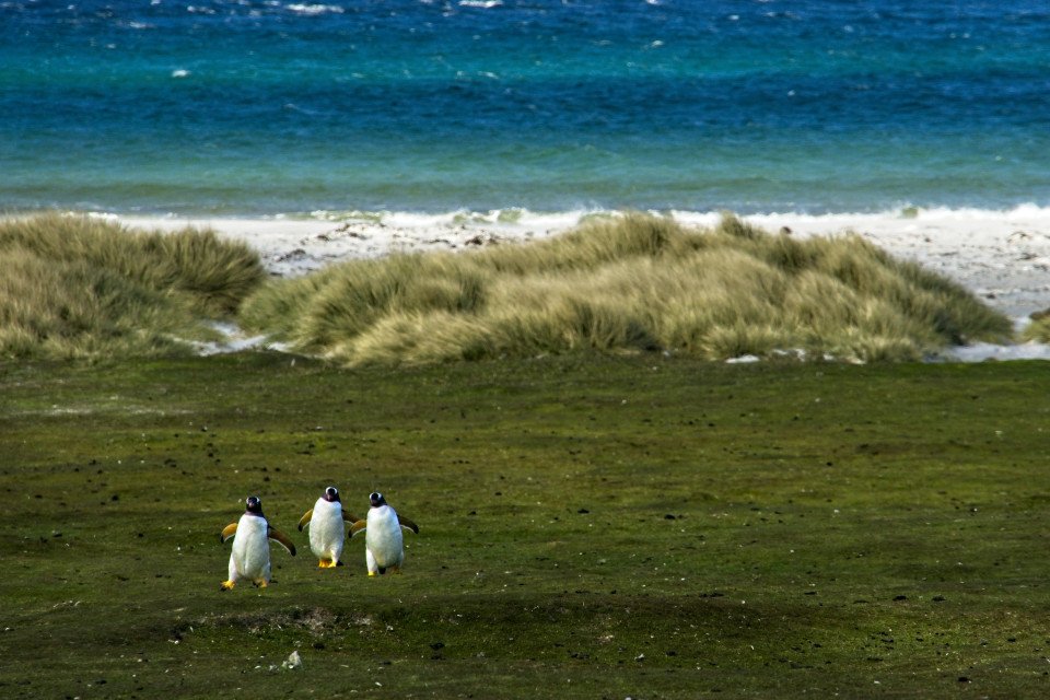
Impenetrable forests, impassable mountains, and endless fields of ice define Chilean Patagonia, and meant that the region went largely unexplored until the beginning of the 20th century. Located in the southernmost part of the country, this area is still sparsely inhabited, though you will find a few populated places—like the colorful provincial city of Punta Arenas, which looks like it's about to be swept into the Strait of Magellan. Some unique wildlife, particularly colonies of elephant seals and penguins, call this breathtaking topography home. To the north is Parque Nacional Torres del Paine, the country's most magnificent natural wonder, and whose snow-covered peaks seem to rise vertically from the plains below. The vistas, such as the fantastic Avenue of the Glaciers, are breathtaking; along this stretch of the Beagle Channel, you can pass six tremendous glaciers all within a stone's throw of each other.Cruise SightsPunta Arenas. Founded a little more than 150 years ago, Punta Arenas (Sandy Point) was Chile's first permanent settlement in Patagonia. Plaza Muñoz Gamero, the central square, is surrounded by evidence of that early prosperity: buildings whose then-opulent brick exteriors recall a time when this was one of Chile's wealthiest cities. The newer houses here have colorful tin roofs, best appreciated when seen from a high vantage point such as the Mirador Cerro la Cruz. Although the city as a whole may not be particularly attractive, look for details: the pink-and-white house on a corner, the bay window full of potted plants, parking attendants wearing the regional blue and yellow colors, and schoolchildren in identical naval pea coats that remind you that the city's fate is tied to the sea.The Museo Naval y Marítimo extols Chile's high-seas prowess, particularly concerning Antarctica. Its exhibits are worth a visit for anyone with an interest in ships and sailing, merchant and military alike. Part of the second floor is designed like the interior of a ship, including a map and radio room. Pedro Montt 989. Admission charged.Housed in what was once the mansion of the powerful Braun-Menéndez family, the Museo Regional de Magallanes is an intriguing glimpse into the daily life of a wealthy provincial family at the beginning of the 20th century. Lavish Carrara marble hearths, English bath fixtures, and cordovan leather walls are among the original accoutrements. The museum also has an excellent group of displays depicting Punta Arenas's past, from the first European contact to the town's decline after the opening of the Panama Canal. The museum is half a block north of the main square. Magallanes 949. Admission charged.The resplendent 1895 Palacio Sara Braun is a national landmark and an architectural showpiece of southern Patagonia. Designed by a French architect, the house was built from materials and by craftsmen imported from Europe during the four years of construction. The city's central plaza and surrounding buildings soon followed, ushering in the region's golden era. Noteworthy are the lavish bedrooms, magnificent parquet floors, marble fireplaces, and hand-painted ceilings. Don't miss the portraits of Braun and her husband José Nogueira in the music room. Afterwards, head to the cellar for a drink or snack in the warm public tavern (a good portion of the mansion is leased to a hotel). Plaza Muñoz Gamero 716. Admission charged.Commonly referred to simply as "El Salesiano," the Museo Salesiano de Maggiorino Borgatello is operated by Italian missionaries whose order arrived in Punta Arenas in the 19th century. The Salesians, most of whom spoke no Spanish, proved to be daring explorers. Traveling throughout the region, they collected the artifacts made by indigenous tribes that are currently on display. Av. Bulnes 398. Admission charged.Isla Magdalena. Punta Arenas is the launching point for a boat trip to the Isla Magdalena to see the more than 100,000 Magellanic penguins at the Monumento Natural Los Pingúinos. A single trail, marked off by rope, is accessible to humans. The boat trip to the island, in the middle of the Estrecho de Magallanes, takes about two hours. Make sure to bring along warm clothing, even in summer; the island can be chilly, particularly if a breeze is blowing across the water.Parque Nacional Torres del Paine. Some 12 million years ago, lava flows pushed up through the thick sedimentary crust that covered the southwestern coast of South America, cooling to form a granite mass. Glaciers then swept through the region, grinding away all but the ash-gray spires that rise over the landscape of one of the world's most beautiful natural phenomena, now the Parque Nacional Torres del Paine (established in 1959). Snow formations dazzle along every turn of road, and the sunset views are spectacular.Among the 2,420-square-km (934-square-mi) park's most beautiful attractions are its lakes of turquoise, aquamarine, and emerald green waters. Another draw is its unusual wildlife. Creatures like the guanaco (a woollier version of the llama) and the ñandú (resembling a small ostrich) abound. They are used to visitors and don't seem to be bothered by the proximity of automobile traffic and the snapping of cameras. Predators, like the gray fox, make less frequent appearances. You may also spot the dramatic aerobatics of a falcon and the graceful soaring of the endangered condor. The beautiful puma is especially elusive, but sightings have become more common. Admission charged.Pingúinera de Seno Otway. The road to this penguin sanctuary begins 30 km (18 mi) north of Punta Arenas. Magellanic penguins, which live up to 20 years in the wild, return to their birthplace here every year to mate with the same partner. For about 2,000 penguin couples—no single penguins make the trip—home is this desolate and windswept land off the Otway Sound. In late September, the penguins begin to arrive from the southern coast of Brazil and the Falkland Islands. They mate and lay their eggs in early October, and brood their eggs in November. Offspring hatch between mid-November and early December. If you're lucky, you may catch sight of one of the downy gray chicks that stick their heads out of the burrows when their parents return to feed them. Otherwise you might see scores of the ungainly adult penguins waddling to the ocean from their nesting burrows. They swim for food every eight hours and dive up to 100 feet deep. The penguins depart from the sound in late March. Note that the sanctuary is a 1-km (1/2-mi) walk from the parking lot. It gets chilly, so bring a windbreaker. Admission charged.Reserva Nacional Laguna Parillar. This 47,000-acre reserve lies west of Puerto Hambre, a tranquil fishing village, and is centered around a shimmering lake in a valley flanked by hills. It's a great place for a picnic, and there are a number of well-marked paths that offer sweeping vistas over the Estrecho de Magallanes. About 2 km (1 mi) west of Puerto Hambre is a small white monolith that marks the geographical center of Chile, the midway point between Chile's northern port Arica and the South Pole.Cruise ShoppingWool may no longer be king of the economy, but vast flocks of sheep still yield a high-quality product that is woven into the clothing here. Leather products are also common, but the prices are not necessarily low. About 3 km (2 mi) north of Punta Arenas is the Zona Franca (Av. Bulnes). This duty-free zone is where people from all around the region come for low-priced electronics and other consumer items.
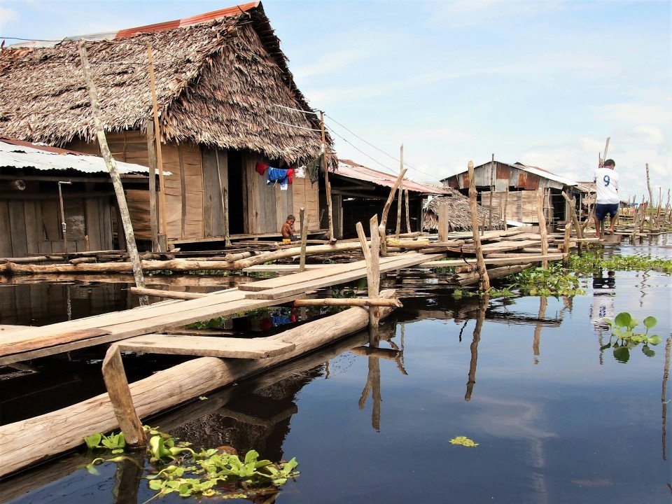
-custom_banner-banner_half.jpg)


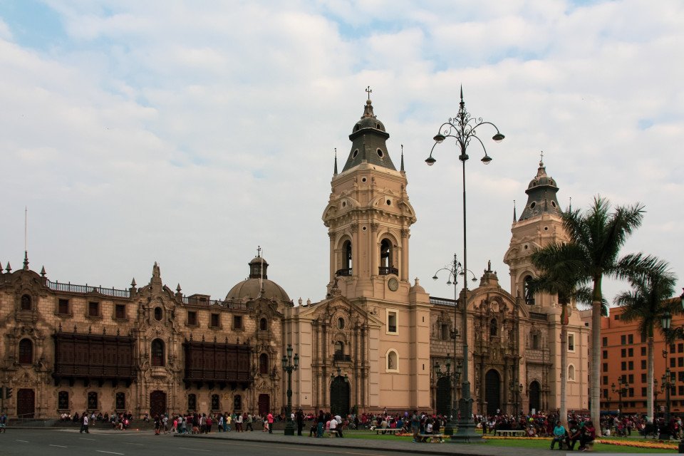
-banner_half.jpg)

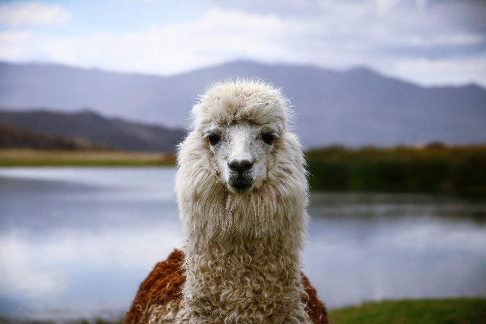


-large_thumb.jpg)


